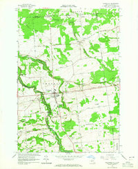
1964 Map of Chateaugay
USGS Topo · Published 1965About this map
The international border between Quebec and New York defines the northern edge of this North Country landscape, where the Port of Entry U.S. Customs stands near the headwaters of Hinchinbrook. The village of Chateaugay serves as the central hub, situated where the Chateaugay River carves through the dramatic Chateaugay Chasm and drops over High Falls. This 1964 field-checked map documents a region of small dairy farms and gravel operations connected by a dense grid of family-named roads like Collins Road and Jerico Road.
Find a feature on this map
62 named features on this map. Tap any name to fly to it.
Don’t see what you’re looking for? This feature index may not catch every label — zoom into the map to look around manually.
Map Details
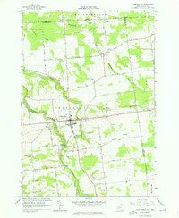
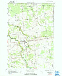
Editions of this 1964 Chateaugay Map
3 editions found
Other maps of this area

1915 · Churubusco
USGS Topo · 1:62,500

1915 · Chateaugay
USGS Topo · 1:62,500

1943 · Churubusco
USGS Topo · 1:62,500

1943 · Chateaugay
USGS Topo · 1:62,500

1948 · Ogdensburg
USGS Topo · 1:250,000

1950 · Lake Champlain
USGS Topo · 1:250,000

1951 · Ogdensburg
USGS Topo · 1:250,000

1953 · Ogdensburg
USGS Topo · 1:250,000

1958 · Lake Champlain
USGS Topo · 1:250,000

1961 · Ogdensburg
USGS Topo · 1:250,000