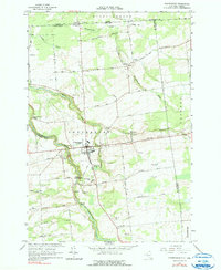
1964 Map of Chateaugay
USGS Topo · Published 1990About this map
Chateaugay serves as the primary hub of this northern New York landscape, situated along a prominent east-west corridor where the Chateaugay River cuts a deep path through the terrain. The presence of the Chateaugay Chasm and High Falls suggests a river system with significant drop and power, historically essential for local industry. North of town, the international boundary with Canada is marked by a Port of Entry and Canadian Customs, highlighting the area's role as a border crossing point.
Find a feature on this map
59 named features on this map. Tap any name to fly to it.
Don’t see what you’re looking for? This feature index may not catch every label — zoom into the map to look around manually.
Map Details
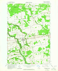
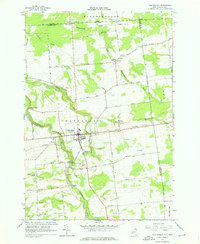
Editions of this 1964 Chateaugay Map
3 editions found
Other maps of this area

1915 · Churubusco
USGS Topo · 1:62,500

1915 · Chateaugay
USGS Topo · 1:62,500

1943 · Churubusco
USGS Topo · 1:62,500

1943 · Chateaugay
USGS Topo · 1:62,500

1948 · Ogdensburg
USGS Topo · 1:250,000

1950 · Lake Champlain
USGS Topo · 1:250,000

1951 · Ogdensburg
USGS Topo · 1:250,000

1953 · Ogdensburg
USGS Topo · 1:250,000

1958 · Lake Champlain
USGS Topo · 1:250,000

1961 · Ogdensburg
USGS Topo · 1:250,000