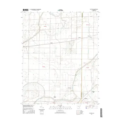
2017 Map of Chatfield
USGS Topo · Published 2017About this map
Blackfish Bayou and Fifteenmile Bayou wind through this corner of the Arkansas Delta, defining a landscape shaped by its complex hydrology and the boundary between St. Francis and Crittenden Counties. The settlement pattern is characterized by small, distinct communities and spurs such as Greasy Corner, Democrat, and Mallory Spur, which highlight the area's agricultural and transit-oriented history.
Find a feature on this map
43 named features on this map. Tap any name to fly to it.
Don’t see what you’re looking for? This feature index may not catch every label — zoom into the map to look around manually.
Map Details
Editions of this 2017 Chatfield Map
This is the sole edition of this map. No revisions or reprints were ever made.
Other maps of this area

1931 · Horseshoe Lake
USGS Topo · 1:62,500

1939 · Horseshoe Lake
USGS Topo · 1:62,500

1939 · Park Place
USGS Topo · 1:62,500

1939 · Edmondson
USGS Topo · 1:62,500

1940 · Whitmore
USGS Topo · 1:62,500

1948 · Helena
USGS Topo · 1:250,000

1950 · Helena
USGS Topo · 1:250,000

1953 · Memphis
USGS Topo · 1:250,000

1954 · Horseshoe Lake
USGS Topo · 1:62,500

1954 · Edmondson
USGS Topo · 1:62,500