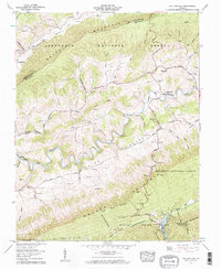
1958 Map of Chatham Hill
USGS Topo · Published 1960About this map
The North Fork Holston River meanders through the heart of this Smyth County landscape, carving a valley between the prominent ridges of Brushy Mountain and Walker Mountain. In the late 1950s, this area of Rich Valley was defined by small agricultural settlements and a network of country churches, including Crabtree Chapel, Ridgedale Ch, and Park Chapel. The settlement at Chatham Hill serves as a local hub near the river's bend, while Tannersville sits to the west where Laurel Creek and Freestone Creek meet. High-elevation features like the Big Cave on the slopes above Ellendale and the northern reaches of Hungry Mother State Park at Hungry Mother Lake highlight the intersection of the region's complex karst topography and early recreational development within the Jefferson National Forest.
Find a feature on this map
73 named features on this map. Tap any name to fly to it.
Don’t see what you’re looking for? This feature index may not catch every label — zoom into the map to look around manually.
Map Details
Editions of this 1958 Chatham Hill Map
2 editions found
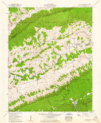
Other maps of this area

1887 · Pocahontas
USGS Topo · 1:125,000

1889 · Wytheville
USGS Topo · 1:125,000

1891 · Tazewell
USGS Topo · 1:125,000

1891 · Pocahontas
USGS Topo · 1:125,000

1891 · Abingdon
USGS Topo · 1:125,000

1892 · Wytheville
USGS Topo · 1:125,000

1894 · Pocahontas
USGS Topo · 1:125,000

1894 · Abingdon
USGS Topo · 1:125,000

1895 · Tazewell
USGS Topo · 1:125,000

1895 · Pocahontas
USGS Topo · 1:125,000