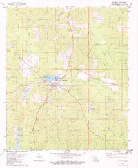
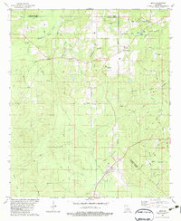
1982 Map of Chatham
USGS Topo · Published 1982About this map
The town of Chatham serves as the central hub for this North Louisiana landscape, where the local economy was shaped by the Illinois Central Gulf railroad and the extensive Chatham Gas Field. The map reveals a dense network of country churches and family burial grounds, such as Mt Moriah Ch and Brooklyn Ch Cem, which anchor the rural communities surrounding the town. Water features dominate the terrain, including Chatham Lake with its Boat Ramp, and numerous branches like Edwards Branch and Ginney Branch feeding into Castor Creek.
Find a feature on this map
34 named features on this map. Tap any name to fly to it.
Don’t see what you’re looking for? This feature index may not catch every label — zoom into the map to look around manually.
Map Details
Editions of this 1982 Chatham Map
This is the sole edition of this map. No revisions or reprints were ever made.
Other maps of this area
1949 · Jonesboro
USGS Topo · 1:62,500
1950 · Jonesboro
USGS Topo · 1:62,500
1953 · Chatham
USGS Topo · 1:62,500
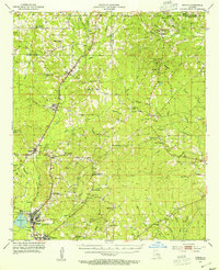
1953 · Hodge
USGS Topo · 1:62,500
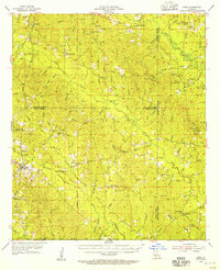
1954 · Sikes
USGS Topo · 1:62,500

1955 · Shreveport
USGS Topo · 1:250,000

1956 · Shreveport
USGS Topo · 1:250,000
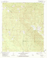
1982 · Chatham SE
USGS Topo · 1:24,000
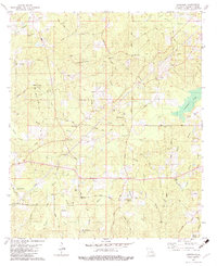
1982 · Cadeville
USGS Topo · 1:24,000
1982 · Eros
USGS Topo · 1:24,000