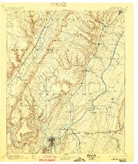
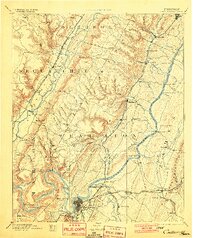
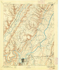
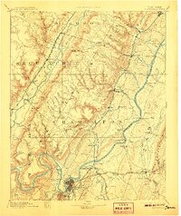
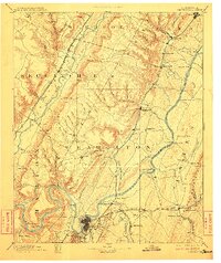
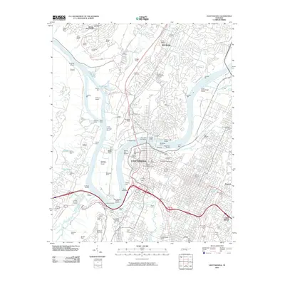
1893 Map of Chattanooga
USGS Topo · Published 1898About this map
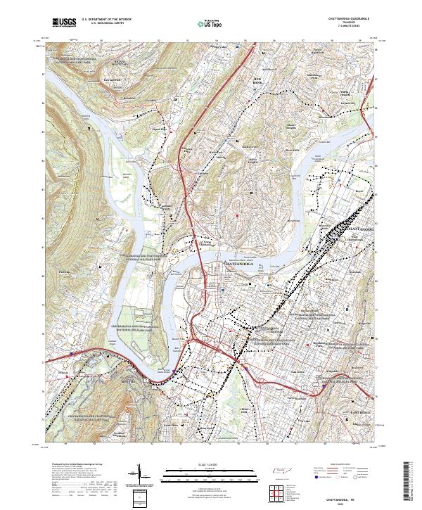
The Tennessee River snakes through the heart of this landscape, its banks defined by a pre-dam network of water crossings like Blythe Ferry, Harrison Ferry, and Brown Ferry. In the final decades of the 19th century, Chattanooga appears as a burgeoning rail hub where the Western and Atlantic R. R. and Cincinnati Southern Railroad converge. This survey captures the industrial footprint of the era, from the McNabb Mines and Aetna Mines in the southwest to the prominence of Walden Ridge. The map documents the intricate settlement patterns of vanished or changed communities like Fair Mount, Norman Store, and the early layout of Dunlap along the Sequatchie River. The presence of numerous gaps through the ridges, such as Henson Gap and Anderson Gap, highlights the natural corridors that dictated early Tennessee transport and trade.
Find a feature on this map
109 named features on this map. Tap any name to fly to it.
Don’t see what you’re looking for? This feature index may not catch every label — zoom into the map to look around manually.
Map Details
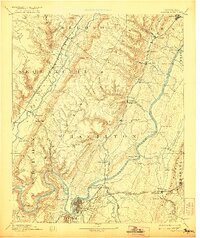
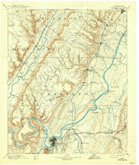
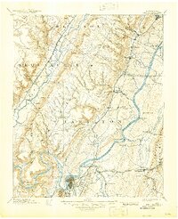
Editions of this 1893 Chattanooga Map
9 editions found

Historical Maps of Chattanooga Through Time
19 maps found

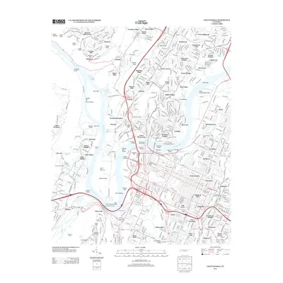
1888 Chattanooga
Hamilton County, TN
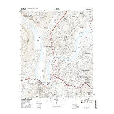
1893 Chattanooga
Hamilton County, TN

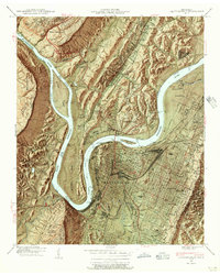
1936 Chattanooga
Hamilton County, TN
1940 Chattanooga
Hamilton County, TN
1941 Chattanooga
Hamilton County, TN

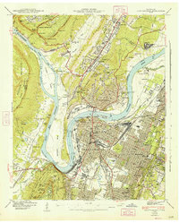
1953 Chattanooga
Hamilton County, TN

1957 Chattanooga
Hamilton County, TN
1958 Chattanooga
Hamilton County, TN

1959 Chattanooga
Hamilton County, TN

1960 Chattanooga
Hamilton County, TN

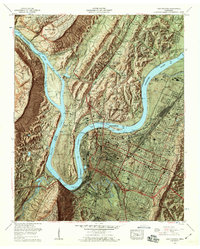
1964 Chattanooga
Hamilton County, TN
1969 Chattanooga
Hamilton County, TN

1979 Chattanooga
Hamilton County, TN

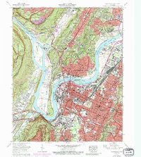
1988 Chattanooga
Hamilton County, TN
2010 Chattanooga
Hamilton County, TN
2013 Chattanooga
Hamilton County, TN
2016 Chattanooga
Hamilton County, TN
2019 Chattanooga
Hamilton County, TN
2022 Chattanooga
Hamilton County, TN