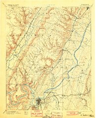
1893 Map of Chattanooga
USGS Topo · Published 1901About this map
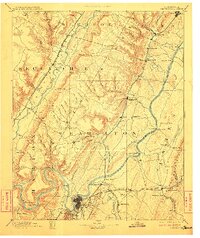
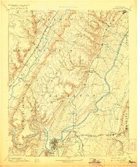
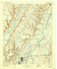
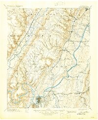
Chattanooga serves as the industrial and transportation hub of this late 19th-century survey, situated at a major bend in the Tennessee River where multiple rail lines converge. The Cincinnati Southern Railroad and the Nashville Chattanooga and St Louis Railroad dictate the valley's development, connecting settlements like Dunlap and Daisy to the river economy. To the west, the landscape is defined by the steep rises of the Sequatchie River valley and the Bledsoe Ridge, while the south reveals industrial sites like the McNabb Mines and Aetna Mines. Before the construction of modern bridges, river crossings relied on a network of ferries such as Blythe Ferry and Doughty Ferry. The map also captures several rural post offices and landings like Eldridge Landing and Norman Store, illustrating a world where the river remained the primary thoroughfare for commerce.
Find a feature on this map
116 named features on this map. Tap any name to fly to it.
Don’t see what you’re looking for? This feature index may not catch every label — zoom into the map to look around manually.
Map Details
Editions of this 1893 Chattanooga Map
9 editions found

Other maps of this area

1886 · Dalton
USGS Topo · 1:125,000

1886 · Cleveland
USGS Topo · 1:125,000

1886 · Ringgold
USGS Topo · 1:125,000

1886 · Stevenson
USGS Topo · 1:125,000

1887 · Kingston
USGS Topo · 1:125,000

1888 · Chattanooga
USGS Topo · 1:125,000

1891 · Kingston
USGS Topo · 1:125,000

1892 · Pikeville
USGS Topo · 1:125,000

1892 · Ringgold
USGS Topo · 1:125,000

1892 · Cleveland
USGS Topo · 1:125,000