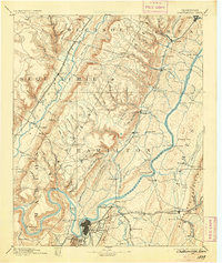
1893 Map of Chattanooga
USGS Topo · Published 1905About this map
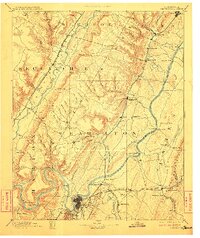
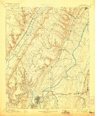
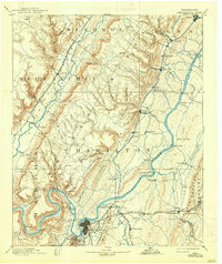
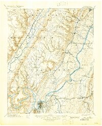
Chattanooga serves as the industrial hub for this late 19th-century landscape, anchored by its critical position on the Tennessee River and a dense converging network of railroads. The map reveals a river-driven economy before the era of modern bridges, where numerous river crossings like Brown Ferry, Kelly Ferry, and Harrison Ferry were essential for regional transit. To the west, the Sequatchie River valley sits between the heights of Walden Ridge and the Nashville Chattanooga and St Louis Railroad. Mineral extraction is evident at the McNabb Mines and Aetna Mines near the river’s southern bends, while smaller rural nodes such as Ooltewah, Harrison, and Daisy reflect the scattered settlement patterns of Hamilton County. High-altitude landmarks like Lookout Point and gaps such as Mahan Gap and Anderson Gap define the complex topography of the Tennessee Valley.
Find a feature on this map
120 named features on this map. Tap any name to fly to it.
Don’t see what you’re looking for? This feature index may not catch every label — zoom into the map to look around manually.
Map Details
Editions of this 1893 Chattanooga Map
9 editions found

Other maps of this area

1886 · Dalton
USGS Topo · 1:125,000

1886 · Cleveland
USGS Topo · 1:125,000

1886 · Ringgold
USGS Topo · 1:125,000

1886 · Stevenson
USGS Topo · 1:125,000

1887 · Kingston
USGS Topo · 1:125,000

1888 · Chattanooga
USGS Topo · 1:125,000

1891 · Kingston
USGS Topo · 1:125,000

1892 · Pikeville
USGS Topo · 1:125,000

1892 · Ringgold
USGS Topo · 1:125,000

1892 · Cleveland
USGS Topo · 1:125,000