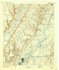
1893 Map of Chattanooga
USGS Topo · Published 1938About this map
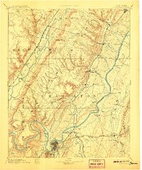
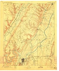
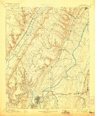
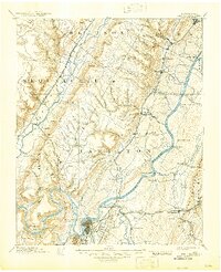
Chattanooga and the surrounding river valleys are captured here during a pivotal era of industrial and transit expansion. The landscape is defined by the winding Tennessee River and the parallel Sequatchie River, which carved the valleys that dictated early settlement and rail routes. Numerous river crossings are documented, including Harrison Ferry, Brown Ferry, and Kelly Ferry, showing how travel functioned before modern bridges dominated the region.
Find a feature on this map
103 named features on this map. Tap any name to fly to it.
Don’t see what you’re looking for? This feature index may not catch every label — zoom into the map to look around manually.
Map Details
Editions of this 1893 Chattanooga Map
9 editions found

Other maps of this area

1886 · Dalton
USGS Topo · 1:125,000

1886 · Cleveland
USGS Topo · 1:125,000

1886 · Ringgold
USGS Topo · 1:125,000

1886 · Stevenson
USGS Topo · 1:125,000

1887 · Kingston
USGS Topo · 1:125,000

1888 · Chattanooga
USGS Topo · 1:125,000

1891 · Kingston
USGS Topo · 1:125,000

1892 · Pikeville
USGS Topo · 1:125,000

1892 · Ringgold
USGS Topo · 1:125,000

1892 · Cleveland
USGS Topo · 1:125,000