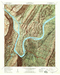
1958 Map of Chattanooga
USGS Topo · Published 1960About this map
The Tennessee River dominates this mid-century survey, looping through the Moccasin Bend and defining the growth of Chattanooga. The city’s urban density is anchored by the University of Chattanooga and Highland Park, while industrial infrastructure like the Citico Yards (Southern) and the Walnut St Bridge illustrate the importance of rail and river crossings. Beyond the city center, the terrain rises sharply toward Lookout Mountain and Signal Mountain, areas preserved in part by the Chickamauga and Chattanooga National Military Park.
Find a feature on this map
89 named features on this map. Tap any name to fly to it.
Don’t see what you’re looking for? This feature index may not catch every label — zoom into the map to look around manually.
Map Details
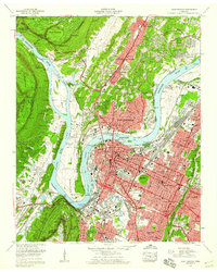
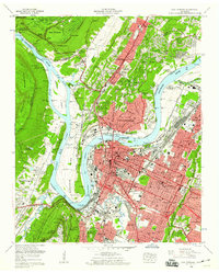
Editions of this 1958 Chattanooga Map
3 editions found
Other maps of this area

1886 · Ringgold
USGS Topo · 1:125,000

1888 · Chattanooga
USGS Topo · 1:125,000

1892 · Ringgold
USGS Topo · 1:125,000

1893 · Chattanooga
USGS Topo · 1:125,000

1935 · East Chattanooga
USGS Topo · 1:24,000

1935 · Daisy
USGS Topo · 1:24,000

1935 · East Ridge
USGS Topo · 1:24,000

1936 · Ketner Gap
USGS Topo · 1:24,000

1936 · Hooker
USGS Topo · 1:24,000

1936 · Fort Oglethorpe
USGS Topo · 1:24,000