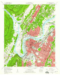
1958 Map of Chattanooga
USGS Topo · Published 1960About this map
Chattanooga and its surrounding mountain ridges appear here in a period of significant mid-century infrastructure and industrial presence. The Tennessee River snakes through the landscape, defined by the dramatic loop of Moccasin Bend and the impounded waters of Hales Bar Lake. To the south, the slopes of Lookout Mountain are detailed with the Incline Railway, Point Park, and the landmark Cravens House, all situated within the Chickamauga and Chattanooga National Military Park.
Find a feature on this map
146 named features on this map. Tap any name to fly to it.
Don’t see what you’re looking for? This feature index may not catch every label — zoom into the map to look around manually.
Map Details
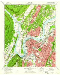
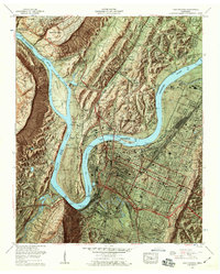
Editions of this 1958 Chattanooga Map
3 editions found
Other maps of this area

1886 · Ringgold
USGS Topo · 1:125,000

1888 · Chattanooga
USGS Topo · 1:125,000

1892 · Ringgold
USGS Topo · 1:125,000

1893 · Chattanooga
USGS Topo · 1:125,000

1935 · East Chattanooga
USGS Topo · 1:24,000

1935 · Daisy
USGS Topo · 1:24,000

1935 · East Ridge
USGS Topo · 1:24,000

1936 · Ketner Gap
USGS Topo · 1:24,000

1936 · Hooker
USGS Topo · 1:24,000

1936 · Fort Oglethorpe
USGS Topo · 1:24,000