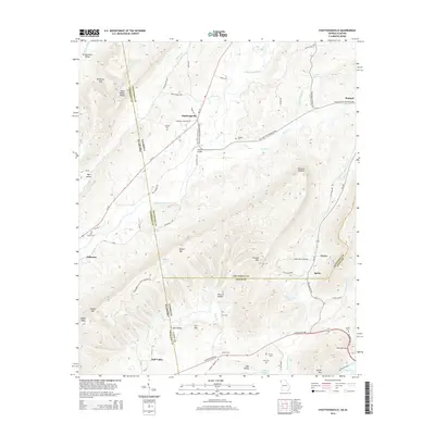
2014 Map of Chattoogaville
USGS Topo · Published 2014About this map
Chattoogaville and the rugged ridges of the Alabama-Georgia border define this 2014 survey. The Chattooga River winds through the central valley, flanked by distinctive peaks like Dirtseller Mtn and Kincaid Mtn. This landscape is marked by numerous small cemeteries, such as Indian Cem and Vann Cem, which offer significant value for genealogists tracing local families in the Hall Valley and Broomtown Valley regions.
Find a feature on this map
80 named features on this map. Tap any name to fly to it.
Don’t see what you’re looking for? This feature index may not catch every label — zoom into the map to look around manually.
Map Details
Editions of this 2014 Chattoogaville Map
This is the sole edition of this map. No revisions or reprints were ever made.
Other maps of this area

1886 · Rome
USGS Topo · 1:125,000

1893 · Fort Payne
USGS Topo · 1:125,000

1898 · Rome
USGS Topo · 1:125,000

1898 · Fort Payne
USGS Topo · 1:125,000

1899 · Rome
USGS Topo · 1:125,000

1900 · Fort Payne
USGS Topo · 1:125,000

1904 · Rome
USGS Topo · 1:125,000

1955 · Rome
USGS Topo · 1:250,000

1958 · Rome
USGS Topo · 1:250,000

1961 · Rome
USGS Topo · 1:250,000