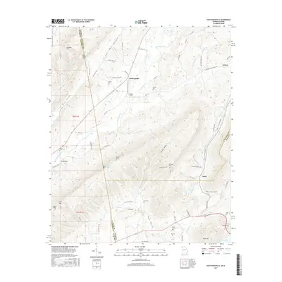
2017 Map of Chattoogaville
USGS Topo · Published 2017About this map
Chattoogaville and Fullerton sit within a valley landscape defined by the winding Chattooga River and the high ridges of Dirtseller Mtn and Bogan Mtn. This rural landscape near the Georgia-Alabama border is characterized by dispersed family settlements and small crossroads like Holland and Sprite. Local history is preserved in numerous burial grounds, including the Mill Creek Cem, Sardis Cem, and Vann Cem, which often represent the early foundations of these communities.
Find a feature on this map
81 named features on this map. Tap any name to fly to it.
Don’t see what you’re looking for? This feature index may not catch every label — zoom into the map to look around manually.
Map Details
Editions of this 2017 Chattoogaville Map
This is the sole edition of this map. No revisions or reprints were ever made.
Other maps of this area

1886 · Rome
USGS Topo · 1:125,000

1893 · Fort Payne
USGS Topo · 1:125,000

1898 · Rome
USGS Topo · 1:125,000

1898 · Fort Payne
USGS Topo · 1:125,000

1899 · Rome
USGS Topo · 1:125,000

1900 · Fort Payne
USGS Topo · 1:125,000

1904 · Rome
USGS Topo · 1:125,000

1955 · Rome
USGS Topo · 1:250,000

1958 · Rome
USGS Topo · 1:250,000

1961 · Rome
USGS Topo · 1:250,000