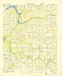
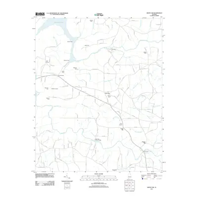
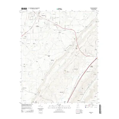
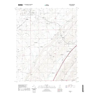
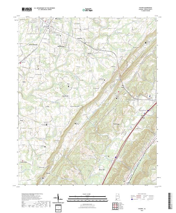
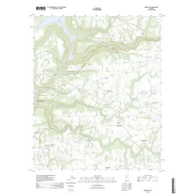
1946 Map of Chavies
USGS Topo · Published 1985About this map
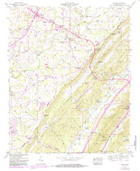
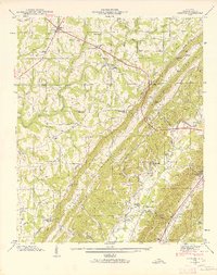
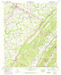
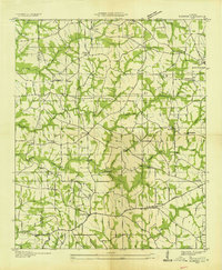
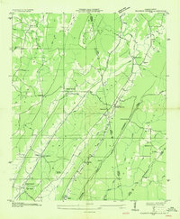
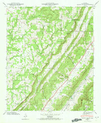
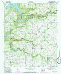
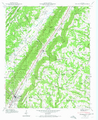
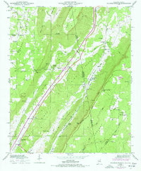
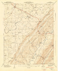
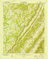
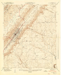
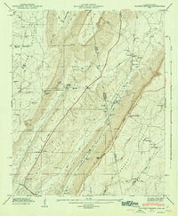
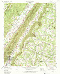
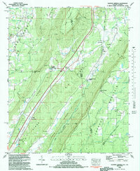
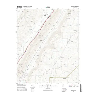
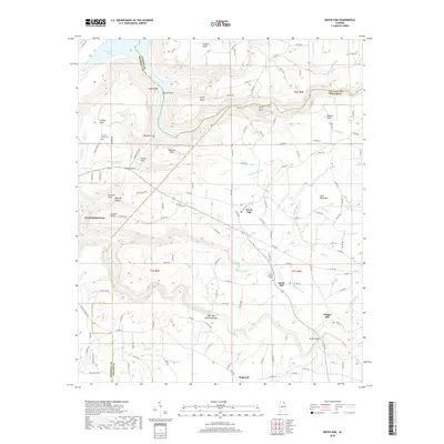
Sand Mountain dominates the western half of this survey, characterized by a high plateau dotted with small-scale farming settlements and rural congregations. The community of Rainsville serves as a local hub, situated near the Drive-In Theater and Athletic Field, while smaller hamlets like Shiloh, Fyffe, and Plainview are linked by a network of winding roads. This upland landscape contrasts sharply with the deep trough of Big Wills Valley to the east, where the Tennessee Alabama And Georgia RR and the Southern railroad lines follow the low ground beneath the steep slopes of Lookout Mountain.
Find a feature on this map
79 named features on this map. Tap any name to fly to it.
Don’t see what you’re looking for? This feature index may not catch every label — zoom into the map to look around manually.
Map Details
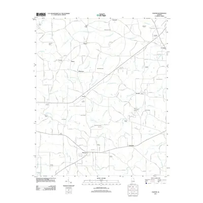
Editions of this 1946 Chavies Map
3 editions found
Historical Maps of Fort Payne Through Time
55 maps found
1936 Chavies
DeKalb County, AL

1936 Dugout Valley
DeKalb County, AL
1936 Grove Oak
DeKalb County, AL

1936 Little Falls
DeKalb County, AL
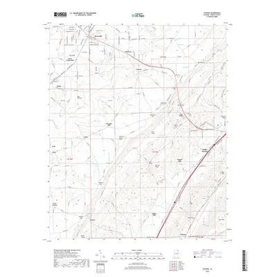
1936 Painter
DeKalb County, AL
1936 Sulphur Springs
DeKalb County, AL
1946 Chavies
DeKalb County, AL
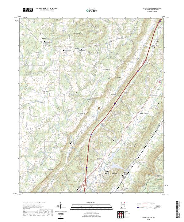
1946 Dugout Valley
DeKalb County, AL
1946 Grove Oak
DeKalb County, AL
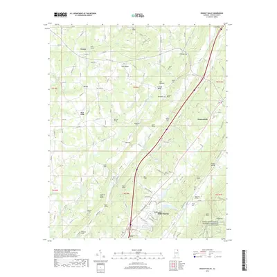
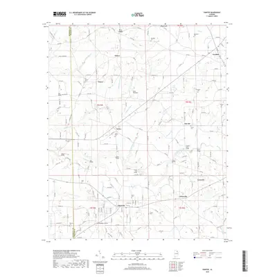
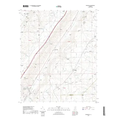
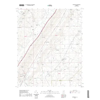
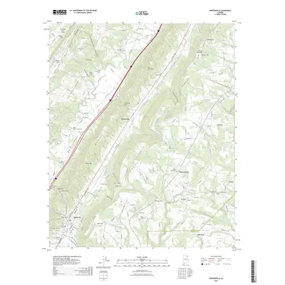
1946 Portersville
DeKalb County, AL
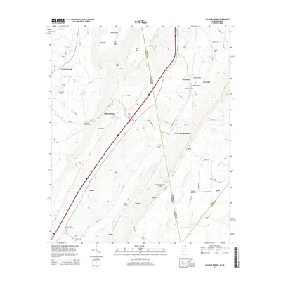
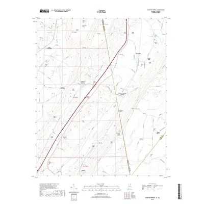
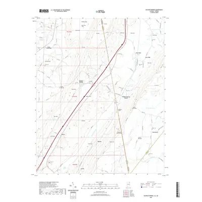
1946 Sulphur Springs
DeKalb County, AL
1947 Chavies
DeKalb County, AL
1947 Dugout Valley
DeKalb County, AL
1947 Ft Payne
DeKalb County, AL
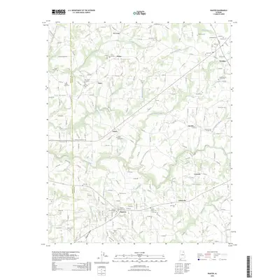
1947 Painter
DeKalb County, AL
1947 Portersville
DeKalb County, AL
1947 Sulphur Springs
DeKalb County, AL
1949 Grove Oak
DeKalb County, AL
1949 Painter
DeKalb County, AL
1975 Dugout Valley
DeKalb County, AL
1975 Portersville
DeKalb County, AL
1982 Sulphur Springs
DeKalb County, AL
2011 Chavies
DeKalb County, AL
2011 Dugout Valley
DeKalb County, AL
2011 Grove Oak
DeKalb County, AL
2011 Painter
DeKalb County, AL
2011 Portersville
DeKalb County, AL
2011 Sulphur Springs
DeKalb County, AL
2014 Chavies
DeKalb County, AL
2014 Dugout Valley
DeKalb County, AL
2014 Grove Oak
DeKalb County, AL
2014 Painter
DeKalb County, AL
2014 Portersville
DeKalb County, AL
2014 Sulphur Springs
DeKalb County, AL
2018 Chavies
DeKalb County, AL
2018 Dugout Valley
DeKalb County, AL
2018 Grove Oak
DeKalb County, AL
2018 Painter
DeKalb County, AL
2018 Portersville
DeKalb County, AL
2018 Sulphur Springs
DeKalb County, AL
2020 Chavies
DeKalb County, AL
2020 Dugout Valley
DeKalb County, AL
2020 Grove Oak
DeKalb County, AL
2020 Painter
DeKalb County, AL
2020 Portersville
DeKalb County, AL
2020 Sulphur Springs
DeKalb County, AL
2024 Chavies
DeKalb County, AL
2024 Dugout Valley
DeKalb County, AL
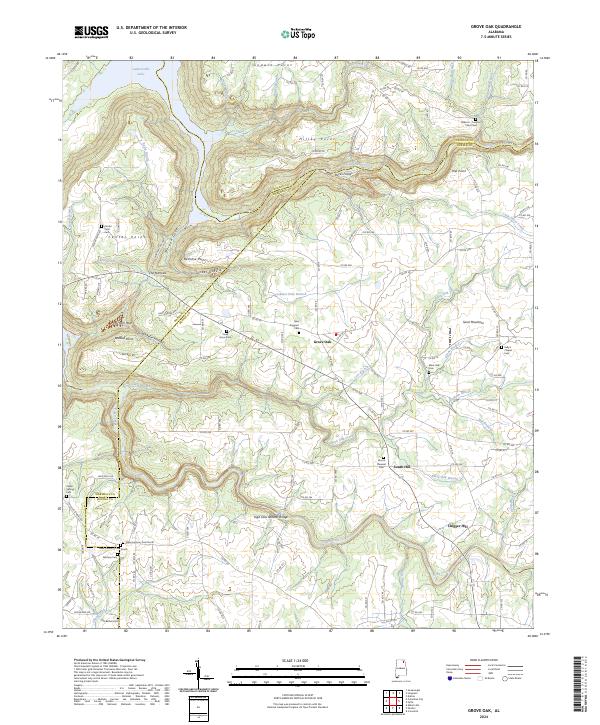
2024 Grove Oak
DeKalb County, AL
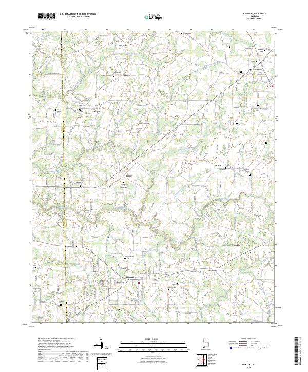
2024 Painter
DeKalb County, AL
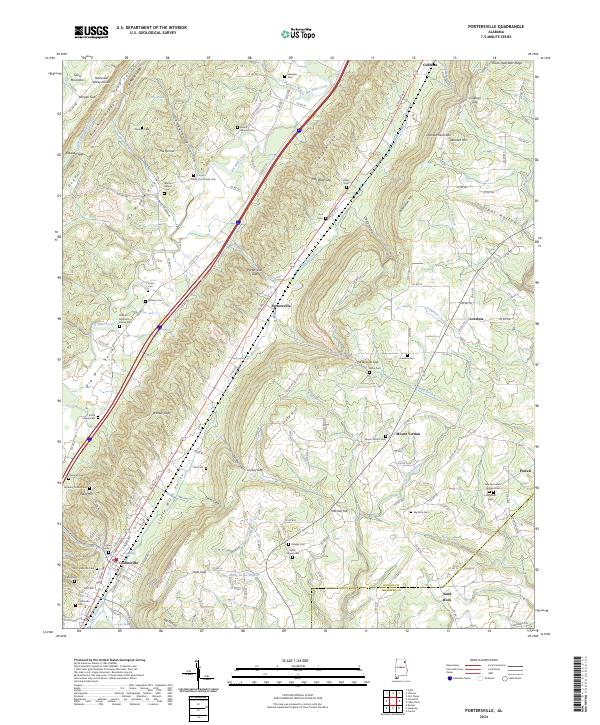
2024 Portersville
DeKalb County, AL
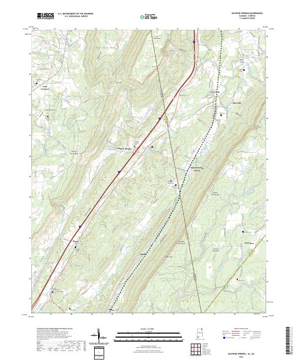
2024 Sulphur Springs
DeKalb County, AL
2026 Grove Oak
DeKalb County, AL
2026 Painter
DeKalb County, AL
2026 Portersville
DeKalb County, AL