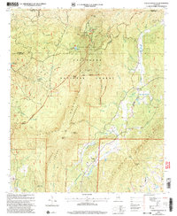
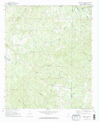
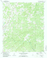
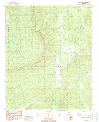
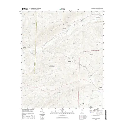
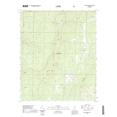
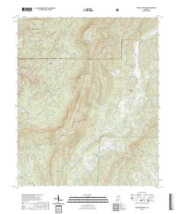
2001 Map of Cheaha Mountain
USGS Topo · Published 2004About this map
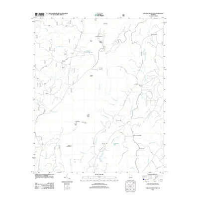
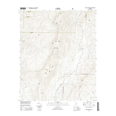
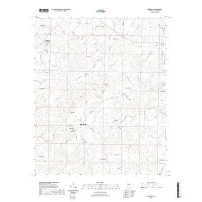
Cheaha Mtn dominates the center of this Alabama landscape, serving as the focal point for the Cheaha State Park and the surrounding Talladega National Forest. This 2001 revision illustrates the convergence of recreational trail systems and protected wilderness, with the Pinhoti Trail and Chinnabee Silent Trail navigating the steep elevation changes. The presence of several communication towers atop the peak signifies its strategic importance as the highest point in the state, while the rugged topography is punctuated by prominent features such as Bald Rock and Pulpit Rock.
Find a feature on this map
53 named features on this map. Tap any name to fly to it.
Don’t see what you’re looking for? This feature index may not catch every label — zoom into the map to look around manually.
Map Details
Editions of this 2001 Cheaha Mountain Map
This is the sole edition of this map. No revisions or reprints were ever made.
Historical Maps of Union Through Time
47 maps found

1969 Cheaha Mountain
Clay County, AL
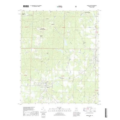
1969 Clairmont Springs
Clay County, AL
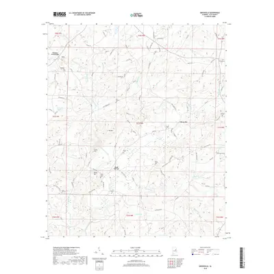
1969 Gibsonville
Clay County, AL
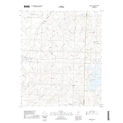
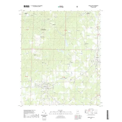
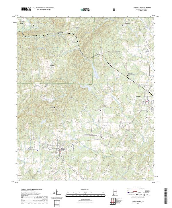
1969 Lineville West
Clay County, AL
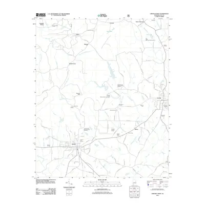
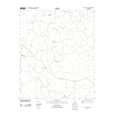
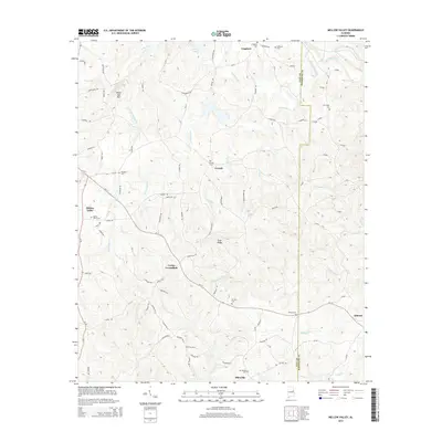
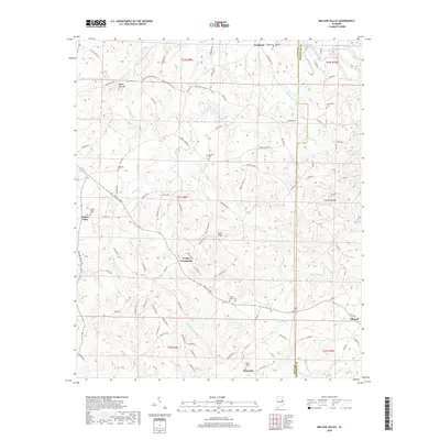
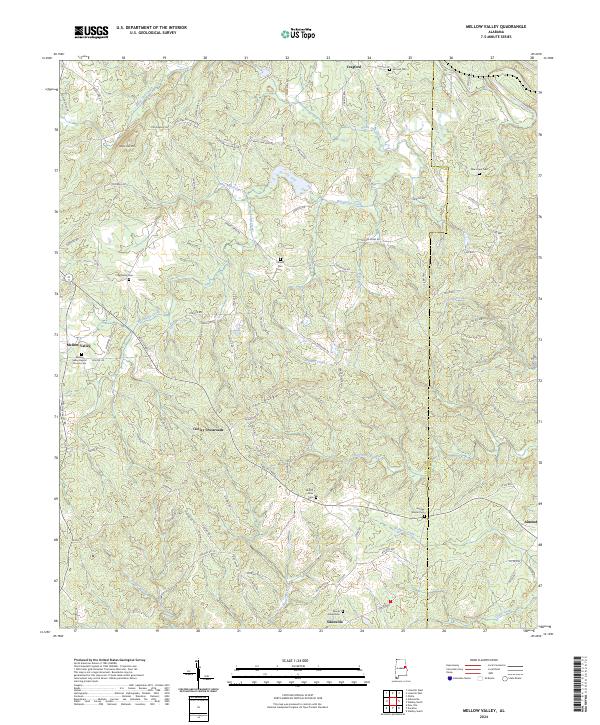
1969 Mellow Valley
Clay County, AL
1970 Lineville East
Clay County, AL
1975 Cheaha Mountain
Clay County, AL
1975 Goodwater NE
Clay County, AL
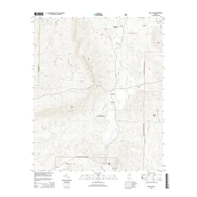
1987 Bulls Gap
Clay County, AL
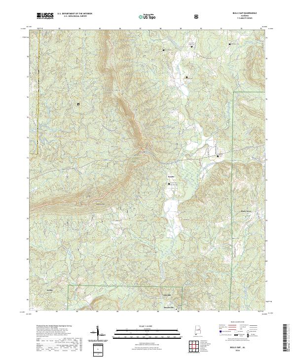
2001 Bulls Gap
Clay County, AL
2001 Cheaha Mountain
Clay County, AL
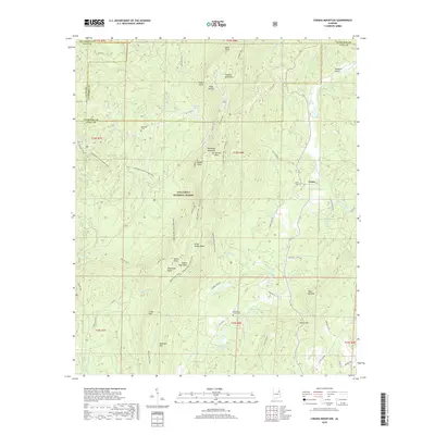
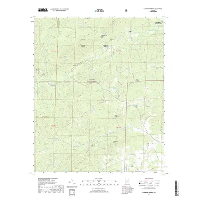
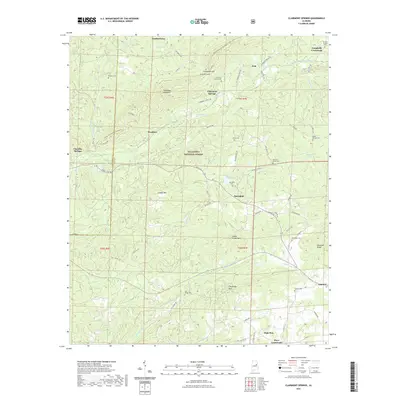
2001 Clairmont Springs
Clay County, AL
2011 Bulls Gap
Clay County, AL
2011 Cheaha Mountain
Clay County, AL
2011 Clairmont Springs
Clay County, AL
2011 Gibsonville
Clay County, AL
2011 Lineville East
Clay County, AL
2011 Lineville West
Clay County, AL
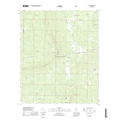
2011 Mellow Valley
Clay County, AL
2014 Bulls Gap
Clay County, AL
2014 Cheaha Mountain
Clay County, AL
2014 Clairmont Springs
Clay County, AL
2014 Gibsonville
Clay County, AL
2014 Lineville East
Clay County, AL
2014 Lineville West
Clay County, AL
2014 Mellow Valley
Clay County, AL
2018 Bulls Gap
Clay County, AL
2018 Cheaha Mountain
Clay County, AL
2018 Clairmont Springs
Clay County, AL
2018 Gibsonville
Clay County, AL
2018 Lineville East
Clay County, AL
2018 Lineville West
Clay County, AL
2018 Mellow Valley
Clay County, AL
2020 Gibsonville
Clay County, AL
2020 Lineville East
Clay County, AL
2020 Mellow Valley
Clay County, AL
2021 Bulls Gap
Clay County, AL
2021 Cheaha Mountain
Clay County, AL
2021 Clairmont Springs
Clay County, AL
2021 Lineville West
Clay County, AL
2024 Bulls Gap
Clay County, AL
2024 Cheaha Mountain
Clay County, AL
2024 Clairmont Springs
Clay County, AL
2024 Gibsonville
Clay County, AL
2024 Lineville East
Clay County, AL
2024 Lineville West
Clay County, AL
2024 Mellow Valley
Clay County, AL