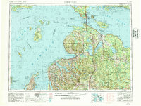
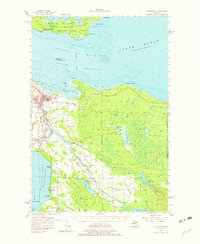
1955 Map of Cheboygan
USGS Topo · Published 1987About this map
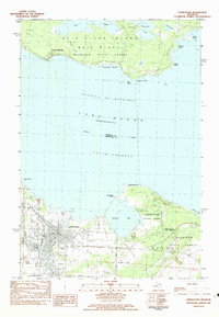
The Straits of Mackinac anchor this mid-century survey, serving as the gateway between Lake Michigan and Lake Huron. The region is defined by its extensive maritime geography and island chains, including the remote Beaver Islands and the historic summer destinations of Mackinac Island and Bois Blanc Island. Inland, the landscape is punctuated by a chain of large water bodies such as Burt Lake, Mullett Lake, and Torch Lake, which helped shape the early recreational and timber economies of Northern Michigan.
Find a feature on this map
183 named features on this map. Tap any name to fly to it.
Don’t see what you’re looking for? This feature index may not catch every label — zoom into the map to look around manually.
Map Details
Editions of this 1955 Cheboygan Map
5 editions found

Historical Maps of Petoskey Through Time
10 maps found
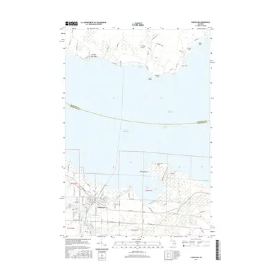
1955 Cheboygan
Cheboygan County, MI
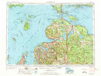
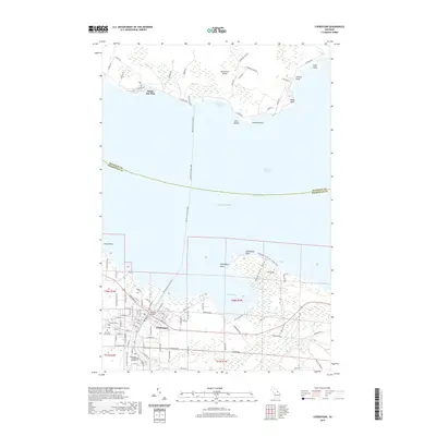
1957 Cheboygan
Cheboygan County, MI

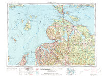
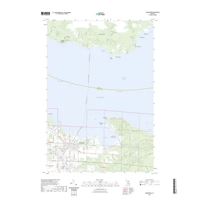
1958 Cheboygan
Cheboygan County, MI
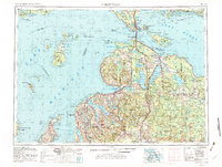
1982 Cheboygan
Cheboygan County, MI

1984 Cheboygan
Cheboygan County, MI
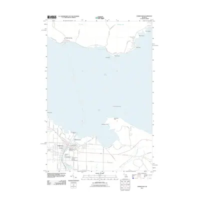
2011 Cheboygan
Cheboygan County, MI
2014 Cheboygan
Cheboygan County, MI
2017 Cheboygan
Cheboygan County, MI
2019 Cheboygan
Cheboygan County, MI
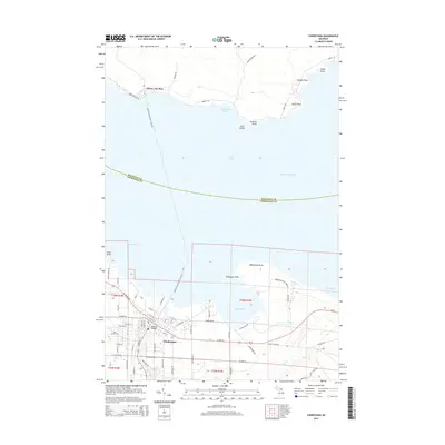
2023 Cheboygan
Cheboygan County, MI