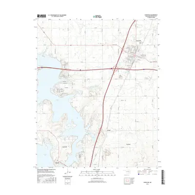
2016 Map of Checotah
USGS Topo · Published 2016About this map
Checotah serves as the hub of this Oklahoma landscape, situated at the intersection of significant transit corridors that have shaped the town's growth. The topography is dominated by the sprawling reaches of Eufaula Lake to the south and west, which influences the development of local roads and recreational features like the Fountainhead Lodge Airpark. The area preserves deep local history through its burial grounds, including the Checotah IOOF Home Cem and the more remote Richard Cem. Small-scale water bodies like Onapa Lake and Warner Lake dot the terrain, while the rural communities of Onapa and Texanna provide insight into the settlement patterns of McIntosh County. The intricate network of section-line roads, such as E 1090 RD and Old HWY 69, reflects the organized agricultural and transit heritage typical of this region.
Find a feature on this map
60 named features on this map. Tap any name to fly to it.
Don’t see what you’re looking for? This feature index may not catch every label — zoom into the map to look around manually.
Map Details
Editions of this 2016 Checotah Map
This is the sole edition of this map. No revisions or reprints were ever made.
Other maps of this area

1896 · Okmulgee
USGS Topo · 1:125,000

1900 · Sansbois
USGS Topo · 1:125,000

1900 · Canadian
USGS Topo · 1:125,000

1900 · Okmulgee
USGS Topo · 1:125,000

1901 · Muscogee
USGS Topo · 1:125,000

1905 · Muscogee
USGS Topo · 1:125,000

1909 · Sans Bois
USGS Topo · 1:125,000

1911 · Sansbois
USGS Topo · 1:125,000

1946 · Fort Smith
USGS Topo · 1:250,000

1948 · Keefeton
USGS Topo · 1:62,500