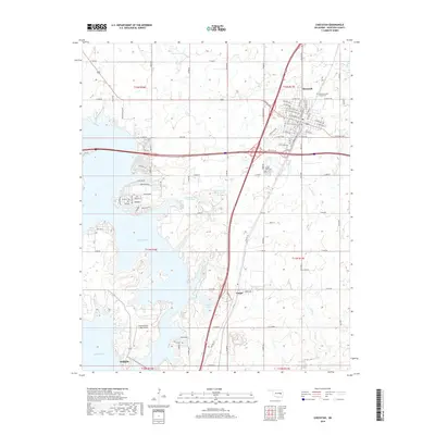
2018 Map of Checotah
USGS Topo · Published 2018About this map
Checotah serves as the primary hub of this landscape in McIntosh County, where the street grid expands north of major interstate and state route interchanges. To the south, the settlement of Onapa and the Fountainhead Lodge-Airpark overlook the expansive waters of Eufaula Lake. This 2018 survey reveals the dense network of rural section-line roads, such as E 1100 Rd and N 4210 Rd, that tie together remote homesteads and local landmarks. Several significant burial sites, including the Checotah IOOF Home Cem and Green Lawn Cem, provide important genealogical markers for the area. The hydrology is dominated by the lake's fingers and numerous smaller bodies like Checotah City Lake West and Onapa Lake, while several streams including Nellie Cr and Carr Cr drain the eastern terrain. This record illustrates a modern Oklahoma community shaped by its proximity to one of the state's largest reservoirs.
Find a feature on this map
99 named features on this map. Tap any name to fly to it.
Don’t see what you’re looking for? This feature index may not catch every label — zoom into the map to look around manually.
Map Details
Editions of this 2018 Checotah Map
This is the sole edition of this map. No revisions or reprints were ever made.
Other maps of this area

1896 · Okmulgee
USGS Topo · 1:125,000

1900 · Sansbois
USGS Topo · 1:125,000

1900 · Canadian
USGS Topo · 1:125,000

1900 · Okmulgee
USGS Topo · 1:125,000

1901 · Muscogee
USGS Topo · 1:125,000

1905 · Muscogee
USGS Topo · 1:125,000

1909 · Sans Bois
USGS Topo · 1:125,000

1911 · Sansbois
USGS Topo · 1:125,000

1946 · Fort Smith
USGS Topo · 1:250,000

1948 · Keefeton
USGS Topo · 1:62,500