Loading...
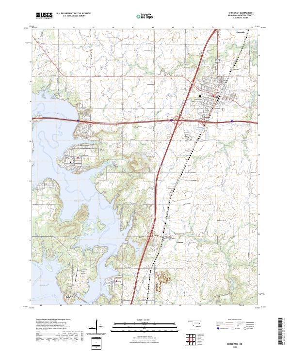
Loading map...2023 Map of Checotah
USGS Topo · Published 2023About this map
Checotah serves as the primary urban hub in this part of McIntosh County, defined by a dense residential grid and the legacy of earlier eras, as evidenced by the Indian Territory Checotah Cem. The landscape to the south and west is dominated by the sprawling reaches of Eufaula Lake, where the shoreline is dotted with local developments and landmarks like the Fountainhead Lodge Airpark.
Find a feature on this map
73 named features on this map. Tap any name to fly to it.
Don’t see what you’re looking for? This feature index may not catch every label — zoom into the map to look around manually.
Map Details
Date Portrayed2023
Date Published2023
PublisherU.S. Geological Survey
Map TypeTopographic
Scale1:24000
Physical Dimensions24 x 29 inches
Editions of this 2023 Checotah Map
This is the sole edition of this map. No revisions or reprints were ever made.
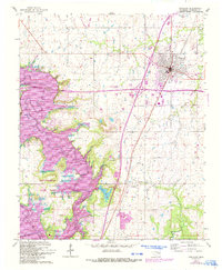
Historical Maps of Onapa Through Time
Featured Locations
Source Details
SourceU.S. Geological Survey
CopyrightPublic Domain