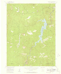
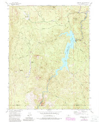
1956 Map of Cheesman Lake
USGS Topo · Published 1957About this map
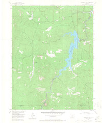
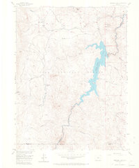
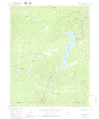
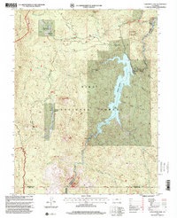
Cheesman Lake serves as the central focal point of this mountainous region within the Pike National Forest, where the South Platte River is impounded by the Cheesman Dam. The landscape is a complex of high-elevation peaks and gulches, including Cheesman Mountain and the distinctive granite formation of Sheeprock. Settlement is sparse, characterized by recreational and organizational outposts rather than traditional towns. These include the Wigwam Club and the Flying G Ranch, which served as a Girl Scout camp during this era.
Find a feature on this map
35 named features on this map. Tap any name to fly to it.
Don’t see what you’re looking for? This feature index may not catch every label — zoom into the map to look around manually.
Map Details
Editions of this 1956 Cheesman Lake Map
9 editions found
Other maps of this area

1893 · Platte Canyon
USGS Topo · 1:125,000

1953 · Denver
USGS Topo · 1:250,000

1954 · Deckers
USGS Topo · 1:24,000

1954 · Green Mountain
USGS Topo · 1:24,000
1954 · Windy Peak
USGS Topo · 1:24,000

1954 · Signal Butte
USGS Topo · 1:24,000

1956 · Mc Curdy Mountain
USGS Topo · 1:24,000

1956 · Tarryall
USGS Topo · 1:24,000

1956 · Hackett Mountain
USGS Topo · 1:24,000
1956 · Westcreek
USGS Topo · 1:24,000