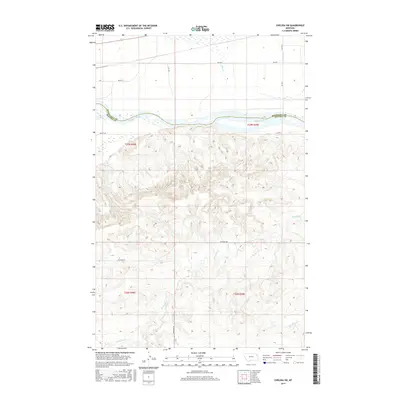
2017 Map of Chelsea SW
USGS Topo · Published 2017About this map
The Missouri River forms a wide, sinuous divide through this landscape, marking the historic boundary between Roosevelt Co and McCone Co. This modern topographic survey highlights a territory defined by its drainage networks, where several smaller watercourses like Tule Cr and Chelsea Cr flow south toward the main river channel from the northern plateau. South of the river, the terrain rises into more complex, dissected high ground carved by Nickwall Cr and Rermley Cr. A network of local rural routes, including Nickwall Rd and BIA Rte 1, provides access across this sparsely populated region. The transition from the flat river bottomlands to the highly contoured southern hills reflects the distinct geological and hydrological character of the Wolf Point district.
Find a feature on this map
16 named features on this map. Tap any name to fly to it.
Don’t see what you’re looking for? This feature index may not catch every label — zoom into the map to look around manually.
Map Details
Editions of this 2017 Chelsea SW Map
This is the sole edition of this map. No revisions or reprints were ever made.
Other maps of this area

1912 · Chelsea
USGS Topo · 1:62,500

1916 · Wolf Point
USGS Topo · 1:62,500

1954 · Glendive
USGS Topo · 1:250,000

1954 · Wolf Point
USGS Topo · 1:250,000

1957 · Glendive
USGS Topo · 1:250,000

1958 · Wolf Point
USGS Topo · 1:250,000

1958 · Glendive
USGS Topo · 1:250,000

1972 · Chelsea SW
USGS Topo · 1:24,000

1972 · Chelsea
USGS Topo · 1:24,000

1972 · Macon
USGS Topo · 1:24,000