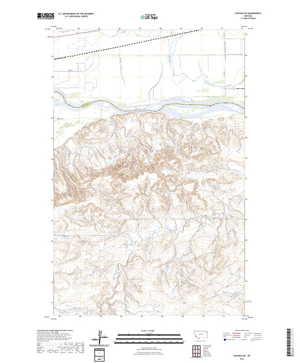
2024 Map of Chelsea SW
USGS Topo · Published 2024About this map
The Missouri River serves as the primary geographic divider on this map, marking the physical boundary between Roosevelt and McCone Counties. North of the river, the terrain transitions into a more organized grid of rural routes like BIA Rte 1 and BIA Rte 5, while the southern portion is dominated by the intricate drainage networks of Nickwall Creek and its tributaries. This area includes a specific protected or managed zone designated as the Farm Service Agency Interest of Montana, highlighting the intersection of federal land management and local agriculture.
Find a feature on this map
18 named features on this map. Tap any name to fly to it.
Don’t see what you’re looking for? This feature index may not catch every label — zoom into the map to look around manually.
Map Details
Editions of this 2024 Chelsea SW Map
This is the sole edition of this map. No revisions or reprints were ever made.
Other maps of this area

1912 · Chelsea
USGS Topo · 1:62,500

1916 · Wolf Point
USGS Topo · 1:62,500

1954 · Glendive
USGS Topo · 1:250,000

1954 · Wolf Point
USGS Topo · 1:250,000

1957 · Glendive
USGS Topo · 1:250,000

1958 · Wolf Point
USGS Topo · 1:250,000

1958 · Glendive
USGS Topo · 1:250,000

1972 · Chelsea SW
USGS Topo · 1:24,000

1972 · Chelsea
USGS Topo · 1:24,000

1972 · Macon
USGS Topo · 1:24,000