
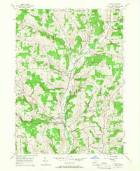
2023 Map of Chenango Forks
USGS Topo · Published 2023About this map
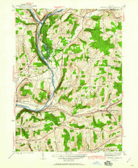
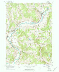
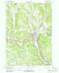
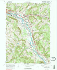
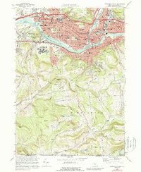
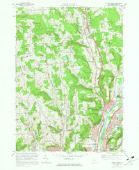
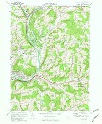
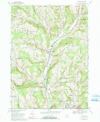
Chenango Forks sits at the northern confluence where the Tioughnioga River joins the Chenango River, marking a landscape defined by significant watercourse shifts and high-relief terrain. The river valley is anchored by Chenango Valley State Park and Lily Lake, while the surrounding hills are dotted with family-named cemeteries that provide a record of early local settlement, including Toombs Cem, Oak Grove Cem, and Collins-Hall Cem.
Find a feature on this map
131 named features on this map. Tap any name to fly to it.
Don’t see what you’re looking for? This feature index may not catch every label — zoom into the map to look around manually.
Map Details
Editions of this 2023 Chenango Forks Map
This is the sole edition of this map. No revisions or reprints were ever made.
Historical Maps of Pleasant Hill Through Time
38 maps found
1905 Nineveh
Broome County, NY

1934 Castle Creek
Broome County, NY

1935 Binghamton West
Broome County, NY

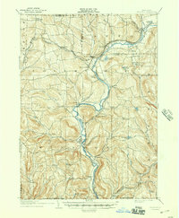
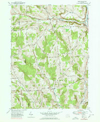
1935 Chenango Forks
Broome County, NY

1937 Binghamton East
Broome County, NY
1942 Binghamton East
Broome County, NY

1942 Binghamton West
Broome County, NY
1942 Castle Creek
Broome County, NY
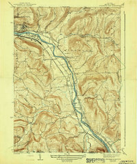
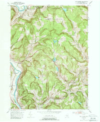
1942 Chenango Forks
Broome County, NY
1949 Lisle
Broome County, NY

1950 Chenango Forks
Broome County, NY

1951 Lisle
Broome County, NY
1952 Gulf Summit
Broome County, NY
1952 Windsor
Broome County, NY
1956 Maine
Broome County, NY
1957 Afton
Broome County, NY

1957 Belden
Broome County, NY

1960 Chenango Forks
Broome County, NY

1961 Binghamton East
Broome County, NY

1961 Binghamton West
Broome County, NY

1961 Castle Creek
Broome County, NY
1965 Deposit
Broome County, NY
1968 Binghamton East
Broome County, NY
1968 Binghamton West
Broome County, NY
1968 Castle Creek
Broome County, NY
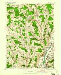
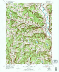
1968 Chenango Forks
Broome County, NY
1969 Maine
Broome County, NY

2023 Afton
Broome County, NY

2023 Belden
Broome County, NY

2023 Binghamton East
Broome County, NY

2023 Binghamton West
Broome County, NY

2023 Castle Creek
Broome County, NY
2023 Chenango Forks
Broome County, NY

2023 Deposit
Broome County, NY

2023 Gulf Summit
Broome County, NY

2023 Lisle
Broome County, NY

2023 Maine
Broome County, NY

2023 Windsor
Broome County, NY