
1942 Map of Chenango Forks
USGS Topo · Published 1942About this map
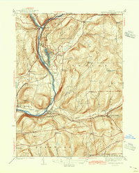
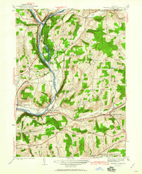
The Chenango River and Tioughnioga River converge at the northern edge of this Broome County landscape, a vital junction that defines the settlement pattern of Chenango Forks. By the late 1930s, the development of Chenango Valley State Park was well underway, featuring a CCC Camp and a golf course near Lily Lake and Chenango Lake. This survey captures the rural infrastructure of the era, recording numerous numbered school districts like Barlow Sch and Pleasant Hill Sch that served the upland farming communities of Fenton and Kirkwood. Transport networks are heavily marked by the Delaware Lackawanna and Western and the Delaware and Hudson railroads, which track the river valleys and pass through established hamlets such as Port Crane and Sanitaria Springs.
Find a feature on this map
47 named features on this map. Tap any name to fly to it.
Don’t see what you’re looking for? This feature index may not catch every label — zoom into the map to look around manually.
Map Details
Editions of this 1942 Chenango Forks Map
3 editions found
Other maps of this area

1902 · Coventry
USGS Topo · 1:62,500

1904 · Binghamton
USGS Topo · 1:62,500

1904 · Greene
USGS Topo · 1:62,500

1904 · Oxford
USGS Topo · 1:62,500

1905 · Nineveh
USGS Topo · 1:62,500

1934 · Castle Creek
USGS Topo · 1:24,000

1935 · Binghamton West
USGS Topo · 1:24,000

1935 · Chenango Forks
USGS Topo · 1:24,000

1937 · Binghamton East
USGS Topo · 1:24,000

1942 · Binghamton West
USGS Topo · 1:31,680