
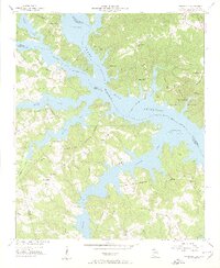
1955 Map of Chennault
USGS Topo · Published 1956About this map
The waters of the Clark Hill Reservoir dominate this mid-century landscape where the Broad River and Savannah River converge at the Georgia-South Carolina border. In this era, the reservoir’s intricate shoreline has transformed the local geography, creating complex finger-like peninsulas and drowning former valley floors. Settlements like Chennault and Graball are positioned on higher ground above the newly flooded basins of Pistol Creek and Fishing Creek.
Find a feature on this map
29 named features on this map. Tap any name to fly to it.
Don’t see what you’re looking for? This feature index may not catch every label — zoom into the map to look around manually.
Map Details
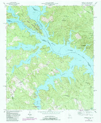
Editions of this 1955 Chennault Map
3 editions found
Other maps of this area

1892 · Mc Cormick
USGS Topo · 1:125,000

1892 · Abbeville
USGS Topo · 1:125,000

1893 · Elberton
USGS Topo · 1:125,000

1906 · Crawfordville
USGS Topo · 1:125,000

1912 · Mc Cormick
USGS Topo · 1:125,000

1949 · Calhoun Creek
USGS Topo · 1:24,000

1953 · Athens
USGS Topo · 1:250,000

1954 · Metasville
USGS Topo · 1:24,000

1954 · Greenville
USGS Topo · 1:250,000

1955 · Tignall
USGS Topo · 1:24,000