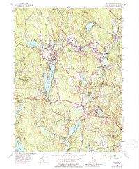
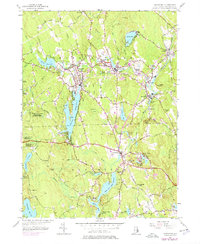
1955 Map of Chepachet
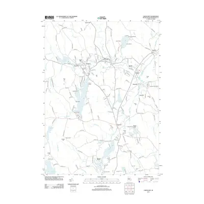
USGS Topo · Published 1988About this map
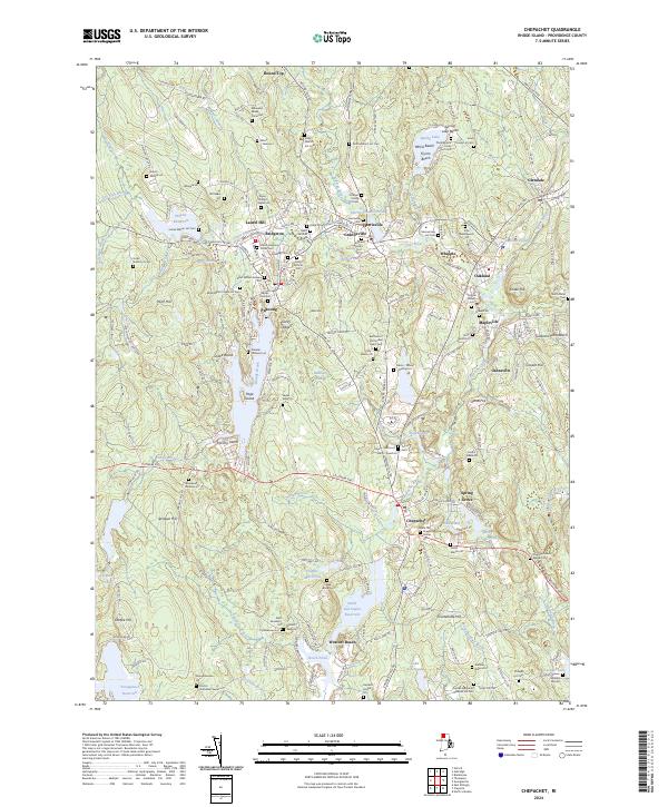
Pascoag and Harrisville serve as the primary industrial and residential anchors of the upper Blackstone Valley on this 1955 survey. The landscape is defined by its sophisticated water management, where the Clear River and Branch River are harnessed through a series of significant catchments including Wilson Reservoir and Pascoag Reservoir. These waterways supported a dense network of mill villages such as Bridgeton, Mapleville, and Oakland. The presence of the Old Branch RR winding through the hills illustrates the transport infrastructure that once tied these textile and manufacturing centers together. Further south, Chepachet marks a historic crossroads at the junction of the Putnam Pike and Victory Highway, surrounded by high points like Durfee Hill and the expansive tracts of the Casimir Pulaski Memorial State Forest.
Find a feature on this map
58 named features on this map. Tap any name to fly to it.
Don’t see what you’re looking for? This feature index may not catch every label — zoom into the map to look around manually.
Map Details
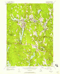
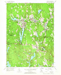
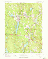
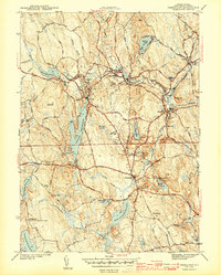
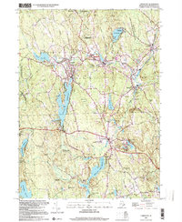
Editions of this 1955 Chepachet Map
5 editions found
Historical Maps of Burrillville Through Time
8 maps found
Featured Locations
- Glocester, RI
- Burrillville, RI
- Mapleville, Burrillville
- Glendale, Burrillville
- Harrisville, Burrillville