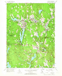
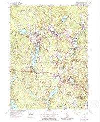
1955 Map of Chepachet
USGS Topo · Published 1966About this map
The villages of Pascoag and Harrisville serve as the primary hubs of this mid-century Providence County landscape, where the New York New Haven and Hartford Railroad follows the winding path of the Clear River. The industrial and social character of the area is evident in the cluster of mill villages like Oakland, Mapleville, and Glendale, each connected by the Victory Highway. Local life centers around landmarks such as the Burrillville High Sch, St Josephs Ch, and Acote Hill in Chepachet.
Find a feature on this map
90 named features on this map. Tap any name to fly to it.
Don’t see what you’re looking for? This feature index may not catch every label — zoom into the map to look around manually.
Map Details
Editions of this 1955 Chepachet Map
5 editions found
Other maps of this area

1886 · Blackstone
USGS Topo · 1:62,500

1889 · Blackstone
USGS Topo · 1:62,500

1889 · Webster
USGS Topo · 1:62,500

1889 · Putnam
USGS Topo · 1:62,500

1889 · Burrillville
USGS Topo · 1:62,500

1892 · Webster
USGS Topo · 1:62,500

1893 · Putnam
USGS Topo · 1:62,500

1893 · Blackstone
USGS Topo · 1:62,500

1894 · Burrillville
USGS Topo · 1:62,500

1900 · Blackstone
USGS Topo · 1:62,500
Featured Places
- Burrillville, RI
- Glocester, RI
- Mapleville, Burrillville
- Harrisville, Burrillville
- Glendale, Burrillville