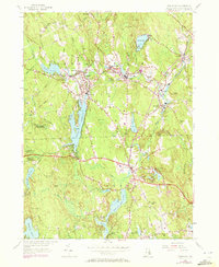
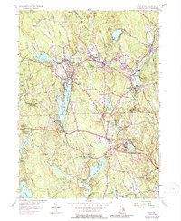
1955 Map of Chepachet
USGS Topo · Published 1972About this map
The Pascoag Reservoir and the Chepachet River anchor this mid-century landscape in Northwest Rhode Island, where industrial villages grew along the water's power. Dense clusters of development at Pascoag, Harrisville, and Bridgeton reveal a legacy of manufacturing supported by the New York New Haven and Hartford RR. This survey, updated with 1970 photogrammetric data, captures the region as it balanced its mill-town origins with the expansion of recreational and conservation lands like the George Washington Memorial State Forest.
Find a feature on this map
66 named features on this map. Tap any name to fly to it.
Don’t see what you’re looking for? This feature index may not catch every label — zoom into the map to look around manually.
Map Details
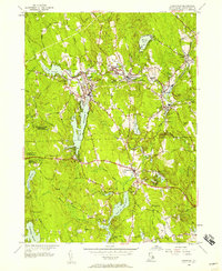
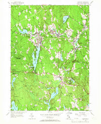
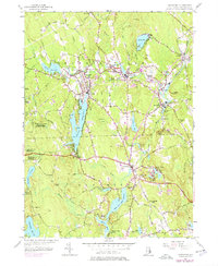
Editions of this 1955 Chepachet Map
5 editions found
Other maps of this area

1886 · Blackstone
USGS Topo · 1:62,500

1889 · Blackstone
USGS Topo · 1:62,500

1889 · Webster
USGS Topo · 1:62,500

1889 · Putnam
USGS Topo · 1:62,500

1889 · Burrillville
USGS Topo · 1:62,500

1892 · Webster
USGS Topo · 1:62,500

1893 · Putnam
USGS Topo · 1:62,500

1893 · Blackstone
USGS Topo · 1:62,500

1894 · Burrillville
USGS Topo · 1:62,500

1900 · Blackstone
USGS Topo · 1:62,500
Featured Places
- Burrillville, RI
- Glocester, RI
- Mapleville, Burrillville
- Harrisville, Burrillville
- Glendale, Burrillville