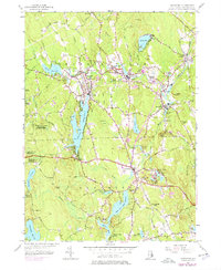
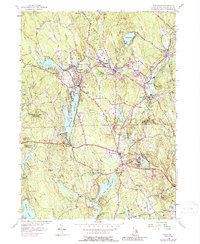
1955 Map of Chepachet
USGS Topo · Published 1976About this map
The Clear River and its numerous impoundments form the industrial and geographic backbone of northwest Rhode Island in this mid-century survey. Mill villages like Pascoag, Harrisville, and Bridgeton are shown at a high level of detail, revealing the dense residential patterns surrounding the river’s power sites. The transportation network is defined by the Old Colony Branch railroad and the Victory Highway, which connect these manufacturing centers to the wider region.
Find a feature on this map
72 named features on this map. Tap any name to fly to it.
Don’t see what you’re looking for? This feature index may not catch every label — zoom into the map to look around manually.
Map Details
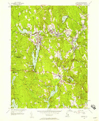
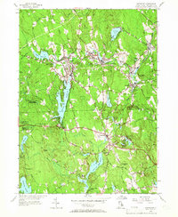
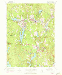
Editions of this 1955 Chepachet Map
5 editions found
Other maps of this area

1886 · Blackstone
USGS Topo · 1:62,500

1889 · Blackstone
USGS Topo · 1:62,500

1889 · Webster
USGS Topo · 1:62,500

1889 · Putnam
USGS Topo · 1:62,500

1889 · Burrillville
USGS Topo · 1:62,500

1892 · Webster
USGS Topo · 1:62,500

1893 · Putnam
USGS Topo · 1:62,500

1893 · Blackstone
USGS Topo · 1:62,500

1894 · Burrillville
USGS Topo · 1:62,500

1900 · Blackstone
USGS Topo · 1:62,500
Featured Places
- Burrillville, RI
- Glocester, RI
- Mapleville, Burrillville
- Harrisville, Burrillville
- Glendale, Burrillville