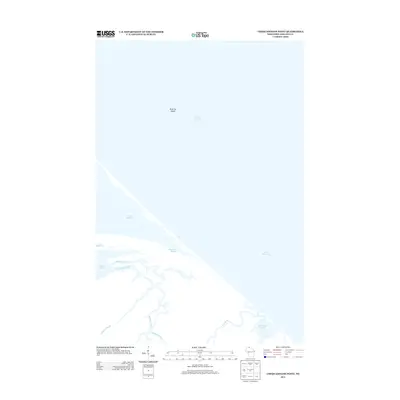
2013 Map of Chequamegon Point
USGS Topo · Published 2013About this map
Lake Superior dominates the northern reaches of this coastal quadrangle, defining a dynamic landscape of shifting shoals and winding estuaries. Near the center of the sheet, the narrow barrier of Sand Cut Slough separates the open lake from an intricate network of waterways including the Kakagon River and Wood Creek Slough. This environment is characterized by the convergence of several freshwater systems, notably where the Bad River and its associated Bad River Slough meet the lake. Farther offshore, the Sand Cut Shoals indicate the submerged hazards and changing bathymetry of the region. This 2013 survey provides a detailed look at the hydrology of the Chequamegon Point area, showing how inland tributaries like Beartrap Creek feed into the complex wetland systems that border the lakefront.
Find a feature on this map
10 named features on this map. Tap any name to fly to it.
Don’t see what you’re looking for? This feature index may not catch every label — zoom into the map to look around manually.
Map Details
Editions of this 2013 Chequamegon Point Map
This is the sole edition of this map. No revisions or reprints were ever made.
Other maps of this area

1941 · Bayfield
USGS Topo · 1:48,000

1942 · Ashland
USGS Topo · 1:48,000

1943 · Odanah
USGS Topo · 1:48,000

1945 · Odanah
USGS Topo · 1:48,000

1946 · Bayfield
USGS Topo · 1:48,000

1947 · Ashland
USGS Topo · 1:48,000

1953 · Ashland
USGS Topo · 1:250,000

1958 · Ashland
USGS Topo · 1:250,000
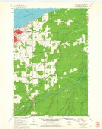
1964 · Ashland East
USGS Topo · 1:24,000
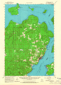
1964 · Bayfield
USGS Topo · 1:62,500