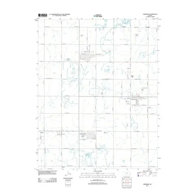
2012 Map of Cherokee
USGS Topo · Published 2012About this map
Daisy Hill and the small settlements of Fleming and Klondike characterize this southeastern Kansas landscape. This modern survey illustrates a region defined by a high density of small drainage systems, including Wolf Cr, Brush Cr, and the branching arms of Cherry Cr and Little Cherry Cr. The map's grid-like road network, such as NW Coal Valley Rd and NE Liberty Rd, connects several local cemeteries, providing valuable data for genealogists tracing families in Cherokee Cem, Hosey Hill Cem, Saint Bridget Cem, and Saint Anthony Cem. To the south, the landscape transitions through Carona and Mackie, where the land is marked by small ponds and the waters of Shawnee Cr, reflecting the region's agricultural and mining heritage.
Find a feature on this map
50 named features on this map. Tap any name to fly to it.
Don’t see what you’re looking for? This feature index may not catch every label — zoom into the map to look around manually.
Map Details
Editions of this 2012 Cherokee Map
This is the sole edition of this map. No revisions or reprints were ever made.
Other maps of this area

1886 · Joplin
USGS Topo · 1:125,000

1894 · Joplin
USGS Topo · 1:125,000

1918 · Columbus
USGS Topo · 1:62,500

1943 · Cherokee
USGS Topo · 1:62,500

1945 · Pittsburg
USGS Topo · 1:62,500

1945 · Cherokee
USGS Topo · 1:62,500

1947 · Joplin
USGS Topo · 1:250,000

1947 · Pittsburg
USGS Topo · 1:62,500

1949 · Joplin
USGS Topo · 1:250,000

1950 · Pittsburg
USGS Topo · 1:62,500