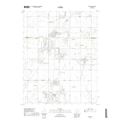
2018 Map of Cherokee
USGS Topo · Published 2018About this map
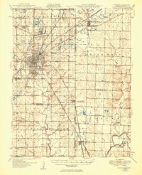
Cherokee and Weir serve as the primary hubs in this corner of Southeast Kansas, where the landscape is defined by the legacy of surface mining and small agricultural settlements. The terrain is notably marked by numerous strip-mine pits and tailings, many of which have filled with water to form narrow, jagged lakes along Cherry Cr and its tributaries like Little Cherry Cr. This pattern of industrial scarring and recovery is particularly dense around the communities of Scammon and Roseland.
Find a feature on this map
60 named features on this map. Tap any name to fly to it.
Don’t see what you’re looking for? This feature index may not catch every label — zoom into the map to look around manually.
Map Details
Editions of this 2018 Cherokee Map
This is the sole edition of this map. No revisions or reprints were ever made.
Other maps of this area

1886 · Joplin
USGS Topo · 1:125,000
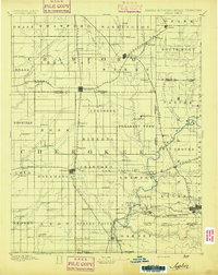
1894 · Joplin
USGS Topo · 1:125,000
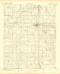
1918 · Columbus
USGS Topo · 1:62,500
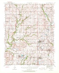
1943 · Cherokee
USGS Topo · 1:62,500
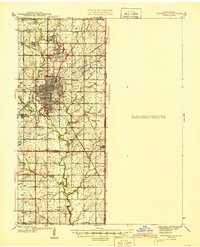
1945 · Pittsburg
USGS Topo · 1:62,500
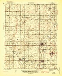
1945 · Cherokee
USGS Topo · 1:62,500

1947 · Joplin
USGS Topo · 1:250,000
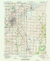
1947 · Pittsburg
USGS Topo · 1:62,500
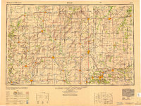
1949 · Joplin
USGS Topo · 1:250,000
1950 · Pittsburg
USGS Topo · 1:62,500