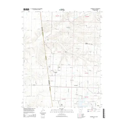
2014 Map of Cherokee City
USGS Topo · Published 2014About this map
Cherokee City and the surrounding borderlands of Benton County stand at the center of this 2014 survey, where the Ozark plateau meets the Oklahoma state line. The landscape is defined by the transition from the open expanses of Round Prairie to the dissected drainages of Coon Hollow and Backer Hollow. Significant local history is preserved in the network of family and community burial grounds, including Cherokee City Cem, Bloomfield Cem, and the Bozarth Cem located near the eastern edge of the quadrangle.
Find a feature on this map
79 named features on this map. Tap any name to fly to it.
Don’t see what you’re looking for? This feature index may not catch every label — zoom into the map to look around manually.
Map Details
Editions of this 2014 Cherokee City Map
This is the sole edition of this map. No revisions or reprints were ever made.
Other maps of this area

1899 · Fayetteville
USGS Topo · 1:125,000

1899 · Siloam Springs
USGS Topo · 1:125,000

1901 · Fayetteville
USGS Topo · 1:125,000

1903 · Siloam Springs
USGS Topo · 1:125,000

1904 · Siloam Springs
USGS Topo · 1:125,000

1904 · Fayetteville
USGS Topo · 1:125,000

1954 · Tulsa
USGS Topo · 1:250,000

1958 · Tulsa
USGS Topo · 1:250,000

1963 · Tulsa
USGS Topo · 1:250,000

1970 · Gallatin
USGS Topo · 1:24,000