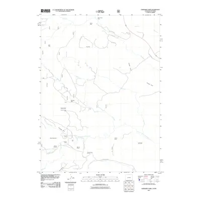
2011 Map of Cherokee Park
USGS Topo · Published 2011About this map
Cherokee Ranch and Trails End Ranch anchor this landscape along the North Fork Cache La Poudre River in Larimer County. The map documents a working terrain where agriculture meets historical extraction, evidenced by the Langford of Trail Creek Iron Mine and the Copper King Group Mine situated among the drainage basins of Mill Creek and Fish Creek.
Find a feature on this map
39 named features on this map. Tap any name to fly to it.
Don’t see what you’re looking for? This feature index may not catch every label — zoom into the map to look around manually.
Map Details
Editions of this 2011 Cherokee Park Map
This is the sole edition of this map. No revisions or reprints were ever made.
Other maps of this area

1895 · Laramie
USGS Topo · 1:125,000

1902 · Laramie
USGS Topo · 1:125,000

1905 · Sherman
USGS Topo · 1:125,000

1905 · Laramie
USGS Topo · 1:125,000

1906 · Laramie
USGS Topo · 1:125,000

1907 · Livermore
USGS Topo · 1:125,000

1908 · Laramie
USGS Topo · 1:125,000

1909 · Livermore
USGS Topo · 1:125,000

1916 · Home
USGS Topo · 1:125,000

1920 · Home
USGS Topo · 1:125,000