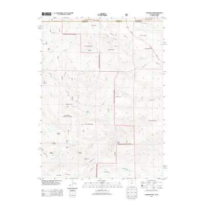
2013 Map of Cherokee Park
USGS Topo · Published 2013About this map
The Roosevelt National Forest dominates this section of the Colorado and Wyoming borderlands, where the high country of Larimer and Albany counties meets. The landscape is defined by the winding course of the North Fork Cache La Poudre River and numerous tributaries such as Fish Creek and Bull Creek. Local history is centered on scattered highland ranches, including the Cherokee Ranch, Trail Creek Ranch, and the Trails End settlement, which features the Trails End Ranch Cem. Named peaks and geological formations like Mount Kimball, Mount Evelyn, and Haystack Rock punctuate the terrain, while the Prairie Divide in the south provides a natural landmark. The map detail reflects a transition from forested wilderness to private mountain holdings, connected by primitive routes like High Lonesome Rd and Gunflint Rd.
Find a feature on this map
57 named features on this map. Tap any name to fly to it.
Don’t see what you’re looking for? This feature index may not catch every label — zoom into the map to look around manually.
Map Details
Editions of this 2013 Cherokee Park Map
This is the sole edition of this map. No revisions or reprints were ever made.
Other maps of this area

1895 · Laramie
USGS Topo · 1:125,000

1902 · Laramie
USGS Topo · 1:125,000

1905 · Sherman
USGS Topo · 1:125,000

1905 · Laramie
USGS Topo · 1:125,000

1906 · Laramie
USGS Topo · 1:125,000

1907 · Livermore
USGS Topo · 1:125,000

1908 · Laramie
USGS Topo · 1:125,000

1909 · Livermore
USGS Topo · 1:125,000

1916 · Home
USGS Topo · 1:125,000

1920 · Home
USGS Topo · 1:125,000