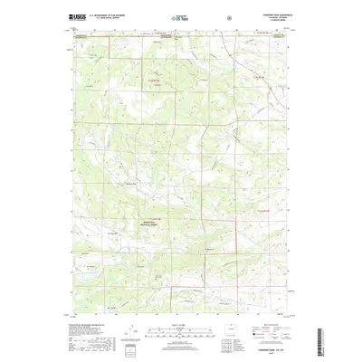
2019 Map of Cherokee Park
USGS Topo · Published 2019About this map
Roosevelt National Forest spans the southern half of this landscape, where the N Fork Cache La Poudre River cuts a deep path through the granite elevations of the Front Range. The settlement of Cherokee Park is situated near the center of the sheet, serving as a hub for a network of ranch roads and trails that traverse the high-altitude terrain. Notable heights including Mt Kimball, Mt Evelyn, and Goat Mtn define the topography south of the river, while to the north, distinctive formations like Cap Rock and Bull Rock break the skyline.
Find a feature on this map
52 named features on this map. Tap any name to fly to it.
Don’t see what you’re looking for? This feature index may not catch every label — zoom into the map to look around manually.
Map Details
Editions of this 2019 Cherokee Park Map
This is the sole edition of this map. No revisions or reprints were ever made.
Other maps of this area

1895 · Laramie
USGS Topo · 1:125,000

1902 · Laramie
USGS Topo · 1:125,000

1905 · Sherman
USGS Topo · 1:125,000

1905 · Laramie
USGS Topo · 1:125,000

1906 · Laramie
USGS Topo · 1:125,000

1907 · Livermore
USGS Topo · 1:125,000

1908 · Laramie
USGS Topo · 1:125,000

1909 · Livermore
USGS Topo · 1:125,000

1916 · Home
USGS Topo · 1:125,000

1920 · Home
USGS Topo · 1:125,000