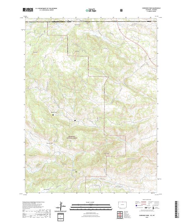
2022 Map of Cherokee Park
USGS Topo · Published 2022About this map
The Roosevelt National Forest dominates this mountain landscape along the border of Colorado and Wyoming, where high-altitude ranching and rugged topography intersect. The N Fork Cache La Poudre River winds through the southern portion of the quadrangle, flanked by prominent peaks such as Mt Kimball and Mt Evelyn. This area is characterized by scattered granite formations like Haystack Rock and Home Rock, providing a sense of the geological character that defines the Prairie Divide. The settlement of Cherokee Park sits as a central point of reference, surrounded by family-named landmarks and ranching roads including Moen Ranch Rd and Weaver Ranch Rd. For those tracing local history, the Trails End Ranch Cem provides a specific genealogical anchor within the forest boundaries, while numerous creeks like Mill Creek and Fish Cr illustrate the drainage patterns of this high-country terrain.
Find a feature on this map
48 named features on this map. Tap any name to fly to it.
Don’t see what you’re looking for? This feature index may not catch every label — zoom into the map to look around manually.
Map Details
Editions of this 2022 Cherokee Park Map
This is the sole edition of this map. No revisions or reprints were ever made.
Other maps of this area

1895 · Laramie
USGS Topo · 1:125,000

1902 · Laramie
USGS Topo · 1:125,000

1905 · Sherman
USGS Topo · 1:125,000

1905 · Laramie
USGS Topo · 1:125,000

1906 · Laramie
USGS Topo · 1:125,000

1907 · Livermore
USGS Topo · 1:125,000

1908 · Laramie
USGS Topo · 1:125,000

1909 · Livermore
USGS Topo · 1:125,000

1916 · Home
USGS Topo · 1:125,000

1920 · Home
USGS Topo · 1:125,000