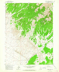
1963 Map of Cherry Creek
USGS Topo · Published 1964About this map
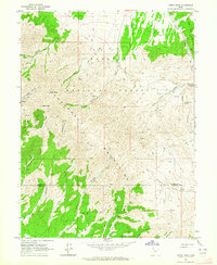
The Sheeprock Mountains dominate this high-desert landscape, where the geology supported a significant cluster of early 20th-century mining operations. Concentrations of extraction activity are evident around Scotia Gulch and Eastern Gulch, featuring named workings like the Great Western King Mine, Ore Plata Mine, and Sullivan Shaft. This dense network of shafts and mines suggests a period of intensive prospecting in the rugged terrain northeast of the valley floor.
Find a feature on this map
39 named features on this map. Tap any name to fly to it.
Don’t see what you’re looking for? This feature index may not catch every label — zoom into the map to look around manually.
Map Details
Editions of this 1963 Cherry Creek Map
This is the sole edition of this map. No revisions or reprints were ever made.
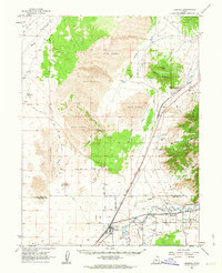
Other maps of this area

1885 · Sevier Desert
USGS Topo · 1:250,000

1953 · Delta
USGS Topo · 1:250,000

1958 · Delta
USGS Topo · 1:250,000

1962 · Delta
USGS Topo · 1:250,000
1962 · Lynndyl
USGS Topo · 1:62,500
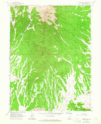
1963 · Maple Peak
USGS Topo · 1:24,000
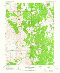
1963 · Sabie Mountain
USGS Topo · 1:24,000
1963 · Dutch Peak
USGS Topo · 1:24,000

1971 · Erickson Knoll
USGS Topo · 1:24,000
1971 · Desert Mtn Pass
USGS Topo · 1:24,000