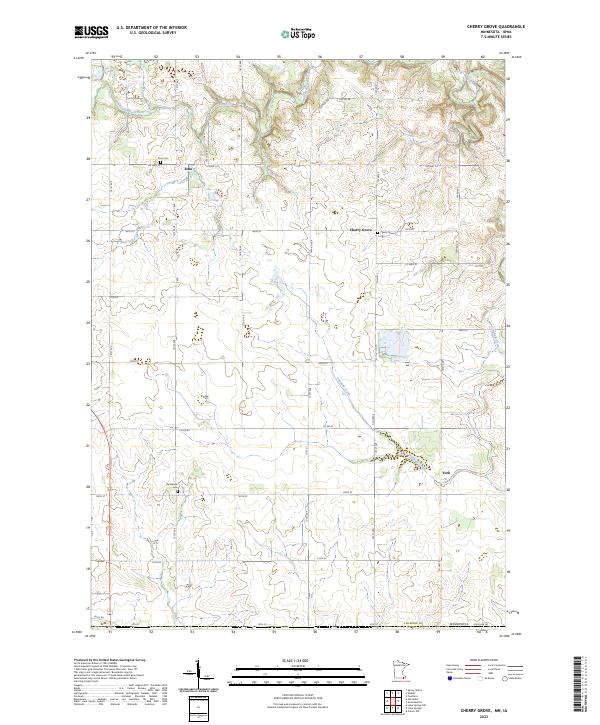
2023 Map of Cherry Grove
USGS Topo · Published 2023About this map
Cherry Grove and Etna serve as central points in this southern Minnesota landscape, where the agricultural grid meets the winding drainages of the South Branch Root River. The area is defined by its deep-rooted community markers, including several local burial grounds such as Etna Cem, Cherry Grove Cem, and Bethlehem Cem. These sites, along with the cluster of buildings at York, trace the enduring settlement patterns of Fillmore County along the border. Water dictates much of the local topography, with the Etna Creek and Canfield Creek cutting through the section lines, creating the varied elevation contours that separate the upland farms from the river valleys. The road network, including Co Hwy 14 and Minnesota State Line Rd, follows both the strict township lines and the natural curves of the terrain, illustrating the modern infrastructure that connects these small rural hubs.
Find a feature on this map
44 named features on this map. Tap any name to fly to it.
Don’t see what you’re looking for? This feature index may not catch every label — zoom into the map to look around manually.
Map Details
Editions of this 2023 Cherry Grove Map
This is the sole edition of this map. No revisions or reprints were ever made.
Other maps of this area

1954 · Mason City
USGS Topo · 1:250,000

1957 · Mason City
USGS Topo · 1:250,000

1958 · Mason City
USGS Topo · 1:250,000

1965 · Greenleafton
USGS Topo · 1:24,000

1965 · Wykoff
USGS Topo · 1:24,000

1965 · Spring Valley
USGS Topo · 1:24,000

1965 · Ostrander
USGS Topo · 1:24,000

1965 · Fountain
USGS Topo · 1:24,000

1965 · Cherry Grove
USGS Topo · 1:24,000

1981 · Cresco NW
USGS Topo · 1:24,000