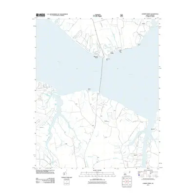
2011 Map of Cherry Point
USGS Topo · Published 2011About this map
The Neuse River dominates this coastal landscape, separating the northern settlements like Janeiro and Minnesott Beach from the southern banks. Along the southern shore, the prominent Cherry Point peninsula is defined by a dense network of residential streets and creek systems, including Hancock Creek and Cahoogue Creek. The map documents a mix of recreational and military-adjacent land use, featuring Camp Seagull and Camp Don-Lee on the northern shore and the Pine Cliff Lookout Tower to the south.
Find a feature on this map
88 named features on this map. Tap any name to fly to it.
Don’t see what you’re looking for? This feature index may not catch every label — zoom into the map to look around manually.
Map Details
Editions of this 2011 Cherry Point Map
This is the sole edition of this map. No revisions or reprints were ever made.
Other maps of this area
1948 · Oriental
USGS Topo · 1:24,000
1949 · Havelock
USGS Topo · 1:24,000
1949 · Merrimon
USGS Topo · 1:24,000
1949 · Newport
USGS Topo · 1:24,000
1949 · Cherry Point
USGS Topo · 1:24,000
1949 · Core Creek
USGS Topo · 1:24,000
1949 · Masontown
USGS Topo · 1:24,000
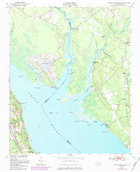
1950 · Upper Broad Creek
USGS Topo · 1:24,000
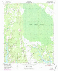
1950 · Arapahoe
USGS Topo · 1:24,000
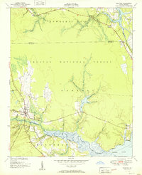
1951 · Newport
USGS Topo · 1:24,000