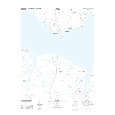
2013 Map of Cherry Point
USGS Topo · Published 2013About this map
The Neuse River dominates the geography of this coastal North Carolina region, separating the established residential and recreational areas on the northern shore from the massive strategic infrastructure on the southern bank. On the southern shore, the Cherry Point Marine Corps Air Station (Cunningham Field) stands as a primary landmark, its runways and taxiways carved into the landscape near Hancock Cr. The map reveals a transition from these military zones to the smaller communities of Blades and Bachelor, alongside recreational landmarks like the Pine Cliff Lookout Tower.
Find a feature on this map
82 named features on this map. Tap any name to fly to it.
Don’t see what you’re looking for? This feature index may not catch every label — zoom into the map to look around manually.
Map Details
Editions of this 2013 Cherry Point Map
This is the sole edition of this map. No revisions or reprints were ever made.
Other maps of this area

1948 · Oriental
USGS Topo · 1:24,000

1949 · Havelock
USGS Topo · 1:24,000

1949 · Merrimon
USGS Topo · 1:24,000

1949 · Newport
USGS Topo · 1:24,000

1949 · Cherry Point
USGS Topo · 1:24,000

1949 · Core Creek
USGS Topo · 1:24,000

1949 · Masontown
USGS Topo · 1:24,000

1950 · Upper Broad Creek
USGS Topo · 1:24,000

1950 · Arapahoe
USGS Topo · 1:24,000

1951 · Newport
USGS Topo · 1:24,000