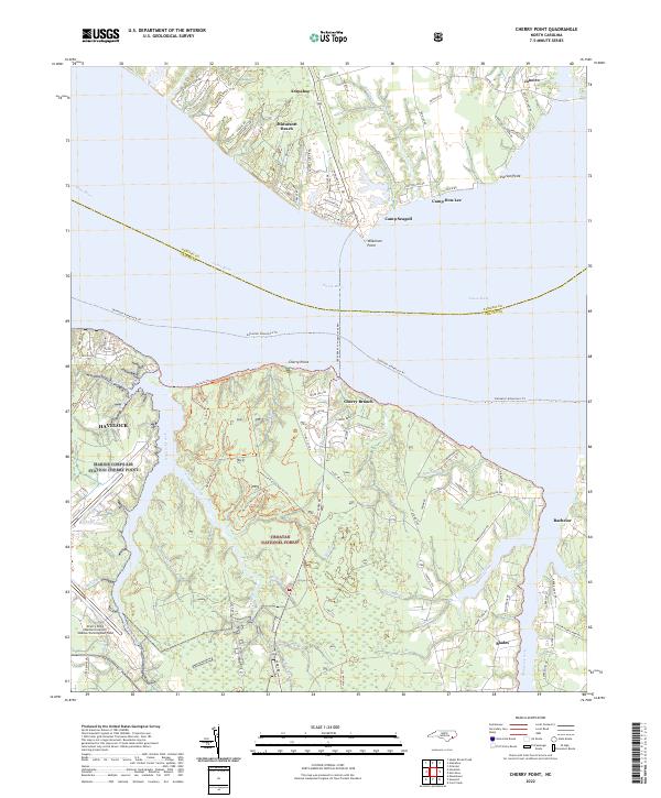
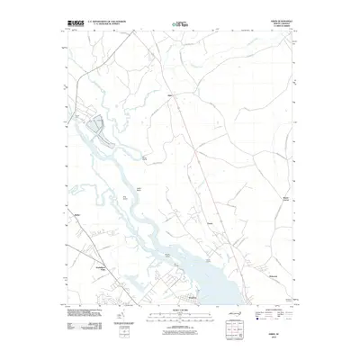
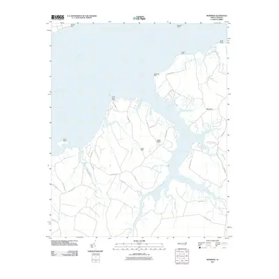
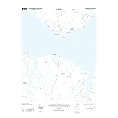
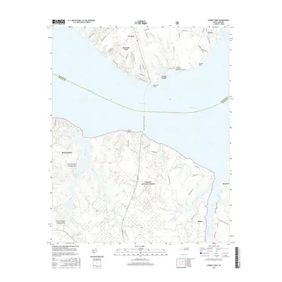
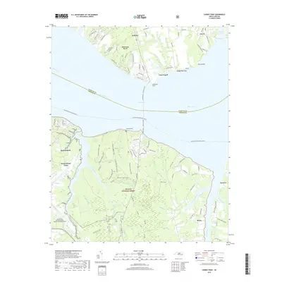
2022 Map of Cherry Point
USGS Topo · Published 2022About this map
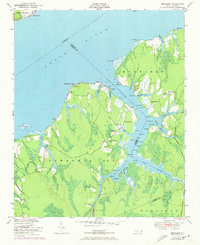
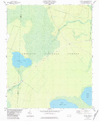
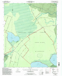
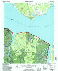
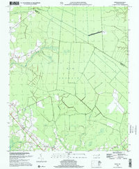
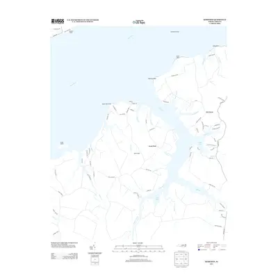
Marine Corps Air Station Cherry Point dominates the southern shore of the Neuse River, showcasing the critical intersection of military aviation and the North Carolina coast. The installation, including Cunningham Field, is bordered by the dense woodlands of the Croatan National Forest, where established paths like the Neusiok Trl and various horse loops wind through the wetlands and timber. Across the wide expanse of the river, which serves as the boundary between Pamlico and Craven counties, the shoreline is defined by small settlements and recreational camps.
Find a feature on this map
95 named features on this map. Tap any name to fly to it.
Don’t see what you’re looking for? This feature index may not catch every label — zoom into the map to look around manually.
Map Details
Editions of this 2022 Cherry Point Map
This is the sole edition of this map. No revisions or reprints were ever made.
Historical Maps of Havelock Through Time
47 maps found
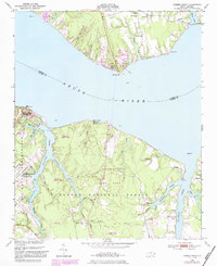
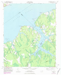
1949 Cherry Point
Craven County, NC
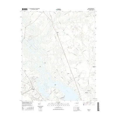
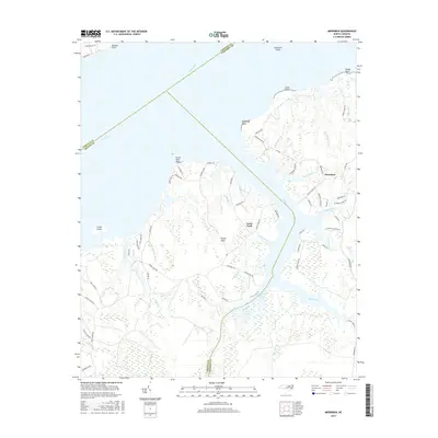
1949 Merrimon
Craven County, NC
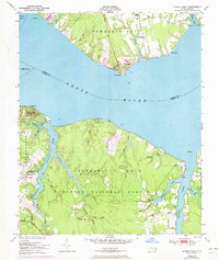
1951 Cherry Point
Craven County, NC
1951 Merrimon
Craven County, NC

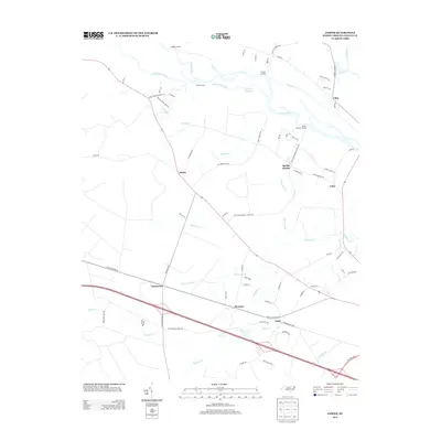
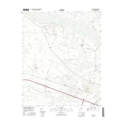
1978 Askin
Craven County, NC
1978 Jasper
Craven County, NC
1983 Ernul
Craven County, NC
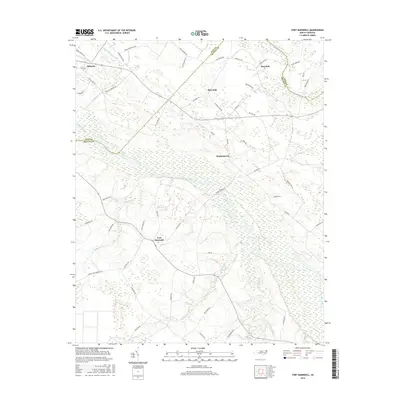
1983 Fort Barnwell
Craven County, NC
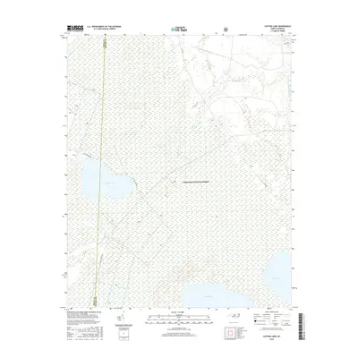
1984 Catfish Lake
Craven County, NC
1994 Catfish Lake
Craven County, NC
1994 Cherry Point
Craven County, NC
1998 Ernul
Craven County, NC
2010 Askin
Craven County, NC
2010 Ernul
Craven County, NC
2010 Fort Barnwell
Craven County, NC
2010 Jasper
Craven County, NC
2010 Merrimon
Craven County, NC
2011 Catfish Lake
Craven County, NC
2011 Cherry Point
Craven County, NC
2013 Askin
Craven County, NC
2013 Catfish Lake
Craven County, NC
2013 Cherry Point
Craven County, NC
2013 Ernul
Craven County, NC
2013 Fort Barnwell
Craven County, NC
2013 Jasper
Craven County, NC
2013 Merrimon
Craven County, NC
2016 Askin
Craven County, NC
2016 Catfish Lake
Craven County, NC
2016 Cherry Point
Craven County, NC

2016 Ernul
Craven County, NC
2016 Fort Barnwell
Craven County, NC
2016 Jasper
Craven County, NC
2016 Merrimon
Craven County, NC
2019 Askin
Craven County, NC
2019 Catfish Lake
Craven County, NC
2019 Cherry Point
Craven County, NC
2019 Ernul
Craven County, NC
2019 Fort Barnwell
Craven County, NC
2019 Jasper
Craven County, NC
2019 Merrimon
Craven County, NC
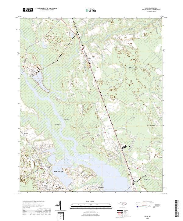
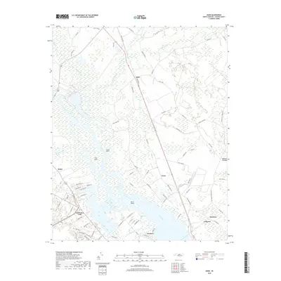
2022 Askin
Craven County, NC
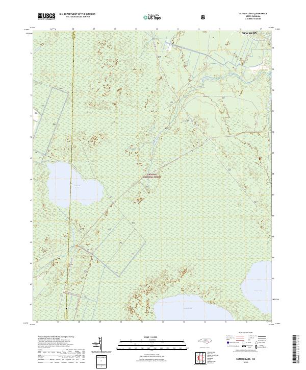
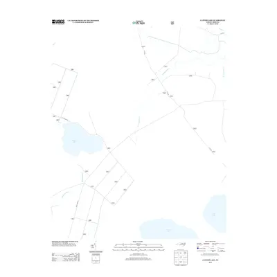
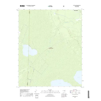
2022 Catfish Lake
Craven County, NC
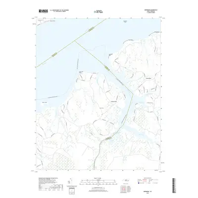
2022 Cherry Point
Craven County, NC
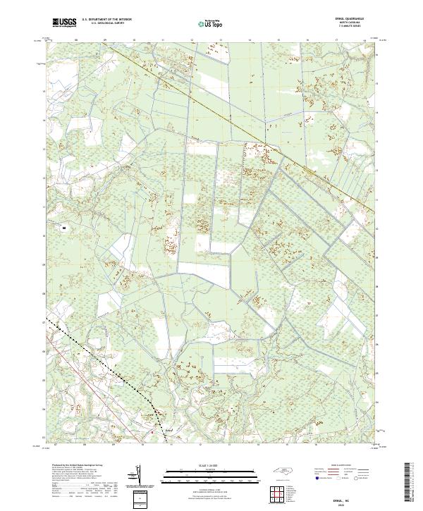
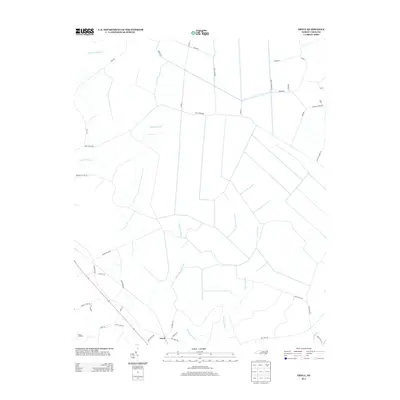
2022 Ernul
Craven County, NC
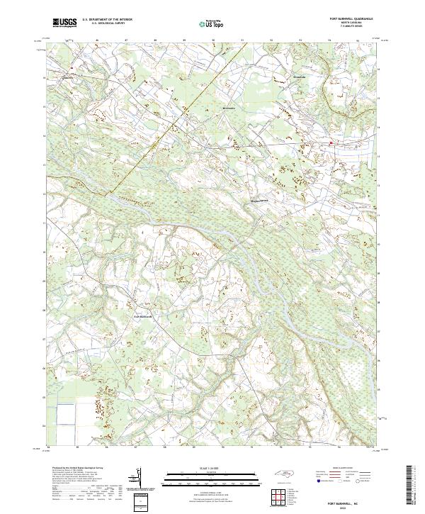
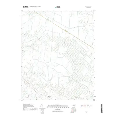
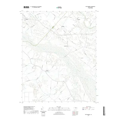
2022 Fort Barnwell
Craven County, NC
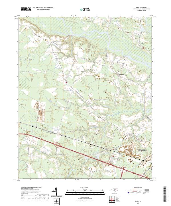
2022 Jasper
Craven County, NC
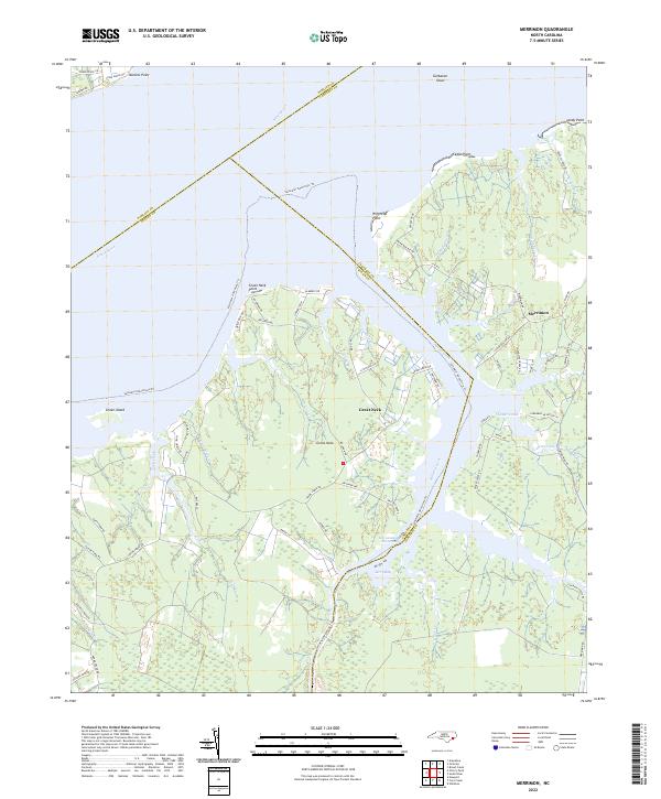
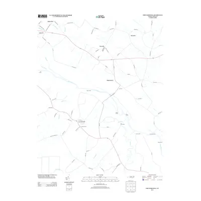
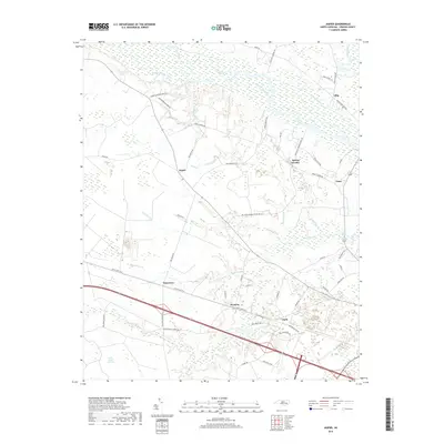
2022 Merrimon
Craven County, NC