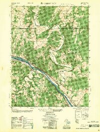
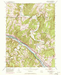
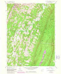
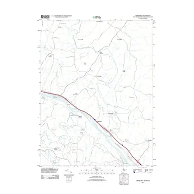
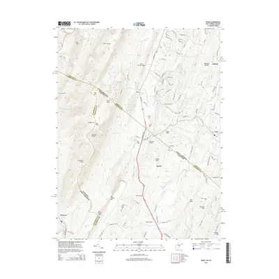
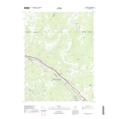
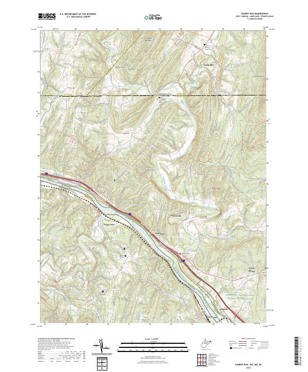
1951 Map of Cherry Run
USGS Topo · Published 1956About this map
The Potomac River carves through the tri-state border region of West Virginia, Maryland, and Pennsylvania, serving as a corridor for major 19th and 20th-century transportation routes. This mid-century survey illustrates the convergence of the Baltimore and Ohio Railroad, the Western Maryland Railway, and the already Chesapeake and Ohio Canal (Abandoned) along the narrow riverbanks. The settlement of Cherry Run sits at a critical junction near where Sleepy Creek meets the Potomac, while small farming communities like Ernstville and Pecktonville are scattered across the Maryland side. Higher ground is defined by the steep slopes of Tuscarora Mtn and Kiefer Ridge. Rural life is well-documented through landmarks like Yeakle Mill, the Ditch Run Sch, and various country congregations including Bethel Ch and Michaels Chapel, providing a detailed view of the region's social and industrial landscape.
Find a feature on this map
47 named features on this map. Tap any name to fly to it.
Don’t see what you’re looking for? This feature index may not catch every label — zoom into the map to look around manually.
Map Details
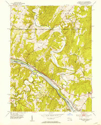
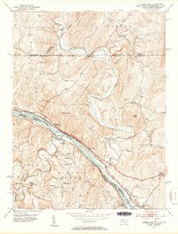
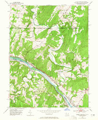
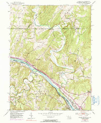
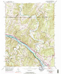
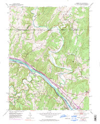
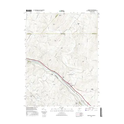
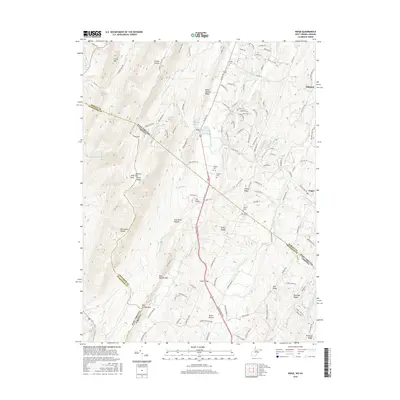
Editions of this 1951 Cherry Run Map
8 editions found
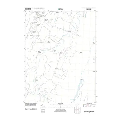
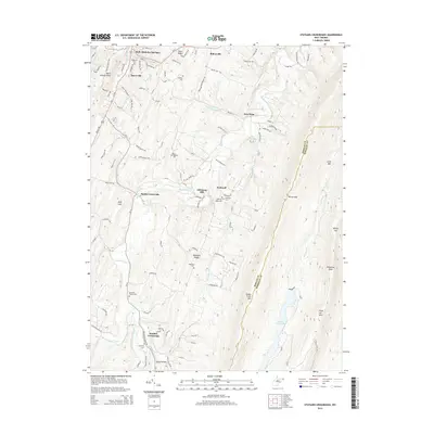
Historical Maps of Pecktonville Through Time
20 maps found
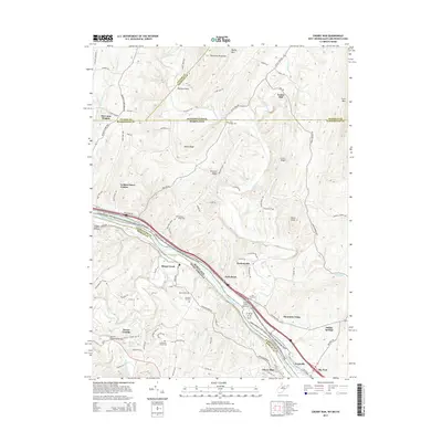
1951 Cherry Run
Morgan County, WV
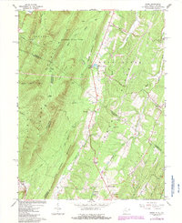
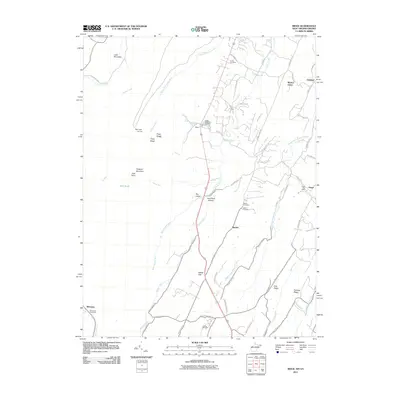
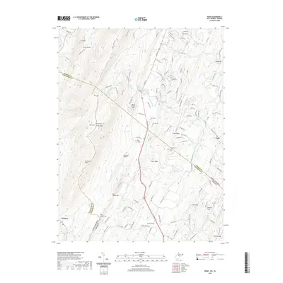
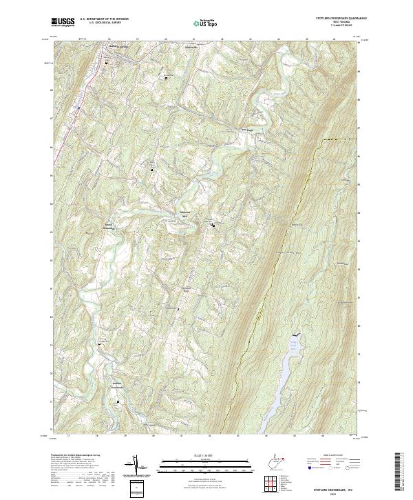
1958 Stotlers Crossroads
Morgan County, WV
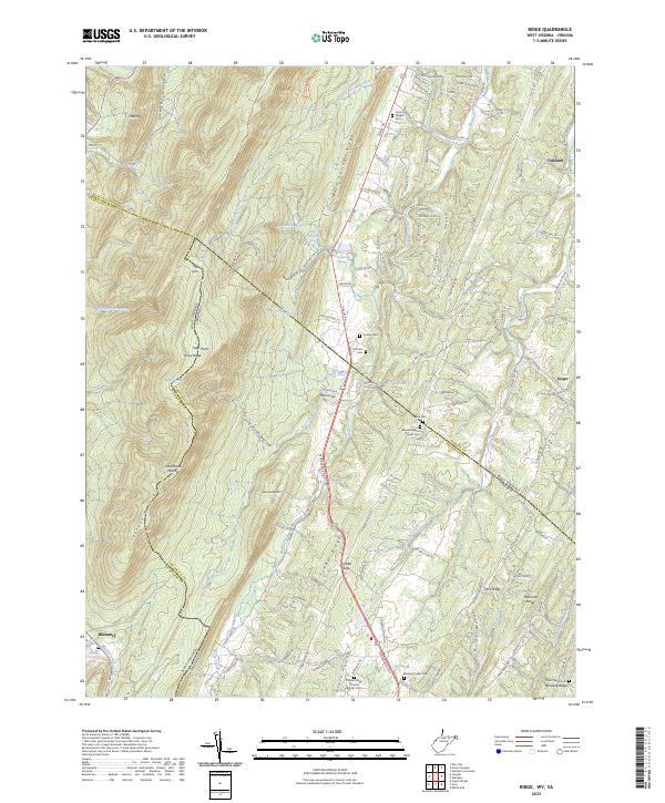
1965 Ridge
Morgan County, WV
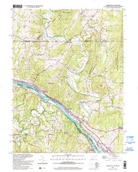
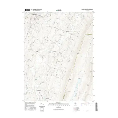
1998 Cherry Run
Morgan County, WV
1998 Stotlers Crossroads
Morgan County, WV
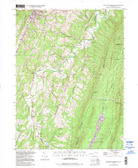
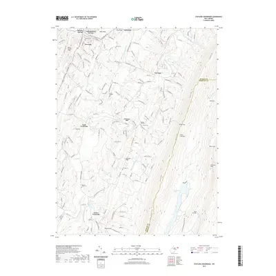
2011 Cherry Run
Morgan County, WV
2011 Ridge
Morgan County, WV
2011 Stotlers Crossroads
Morgan County, WV
2014 Cherry Run
Morgan County, WV
2014 Ridge
Morgan County, WV
2014 Stotlers Crossroads
Morgan County, WV
2016 Cherry Run
Morgan County, WV
2016 Ridge
Morgan County, WV
2016 Stotlers Crossroads
Morgan County, WV
2019 Cherry Run
Morgan County, WV
2019 Ridge
Morgan County, WV
2019 Stotlers Crossroads
Morgan County, WV
2023 Cherry Run
Morgan County, WV
2023 Ridge
Morgan County, WV
2023 Stotlers Crossroads
Morgan County, WV