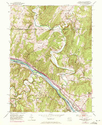
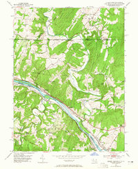
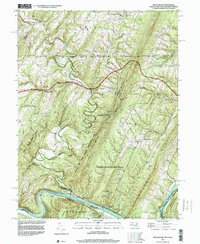
1951 Map of Cherry Run
USGS Topo · Published 1972About this map
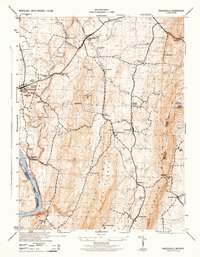
The Mason and Dixon Line serves as a prominent boundary on this map, marking the historic divide between Pennsylvania and Maryland. This Potomac River corridor is defined by its deep integration of water, rail, and early industrial infrastructure. The Potomac River is flanked by the Western Maryland Baltimore and Ohio Railroad and the Ohio Canal (Abandoned), illustrating a legacy of Appalachian transport and trade. Inland, the landscape is dotted with community centers of a bygone era, including Yeakle Mill and several country churches like Stone Bridge Ch and Little Cove Ch. Settled near the river junction, Sleepy Creek and Cherry Run highlight the intersection of local water bodies and regional transit lines. The map also captures the educational and social fabric of the rural landscape through sites like Red Hill Sch and Chestnut Grove Cem.
Find a feature on this map
43 named features on this map. Tap any name to fly to it.
Don’t see what you’re looking for? This feature index may not catch every label — zoom into the map to look around manually.
Map Details
Editions of this 1951 Cherry Run Map
8 editions found
Historical Maps of Pecktonville Through Time
10 maps found
1944 Keddysville
Washington County, MD
1944 Mason-Dixon
Washington County, MD
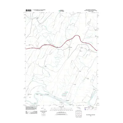
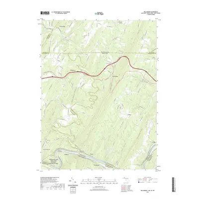
1951 Bellegrove
Washington County, MD
1953 Mason-Dixon
Washington County, MD
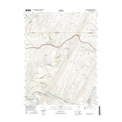
1996 Bellegrove
Washington County, MD
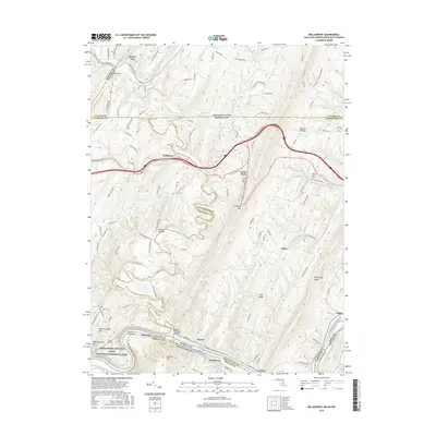
2011 Bellegrove
Washington County, MD
2014 Bellegrove
Washington County, MD
2016 Bellegrove
Washington County, MD
2019 Bellegrove
Washington County, MD
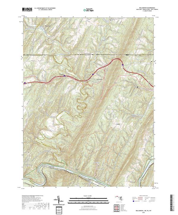
2023 Bellegrove
Washington County, MD