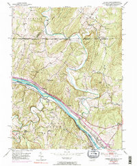
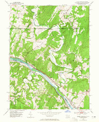
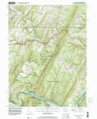
1951 Map of Cherry Run
USGS Topo · Published 1990About this map
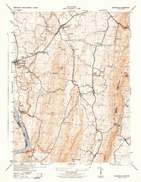
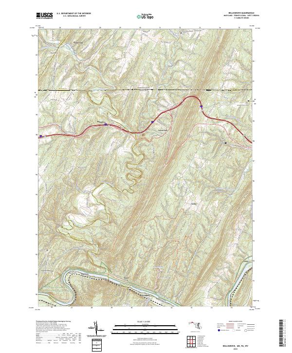
The Potomac River corridor at the meeting of Maryland, Pennsylvania, and West Virginia is defined by a dense network of early transportation routes. The Baltimore and Ohio Railroad and the Western Maryland Railway parallel the river, while the Chesapeake and Ohio Canal (Abandoned) traces the northern bank, marking the transition from water-borne commerce to the rail era. Small riverfront communities like Millstone and Cherry Run serve as anchors in a landscape dominated by dramatic ridges, including Tuscarora Mountain and Orchard Ridge.
Find a feature on this map
58 named features on this map. Tap any name to fly to it.
Don’t see what you’re looking for? This feature index may not catch every label — zoom into the map to look around manually.
Map Details
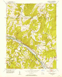
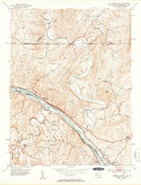
Editions of this 1951 Cherry Run Map
8 editions found
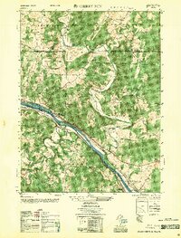
Historical Maps of Pecktonville Through Time
10 maps found
1944 Keddysville
Washington County, MD
1944 Mason-Dixon
Washington County, MD
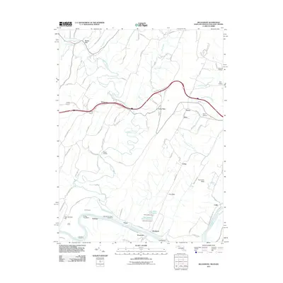
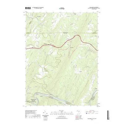
1951 Bellegrove
Washington County, MD
1953 Mason-Dixon
Washington County, MD
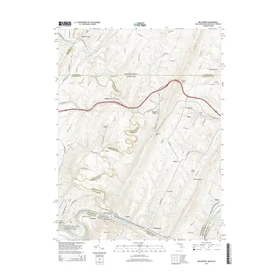
1996 Bellegrove
Washington County, MD
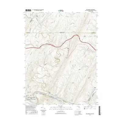
2011 Bellegrove
Washington County, MD
2014 Bellegrove
Washington County, MD
2016 Bellegrove
Washington County, MD
2019 Bellegrove
Washington County, MD
2023 Bellegrove
Washington County, MD