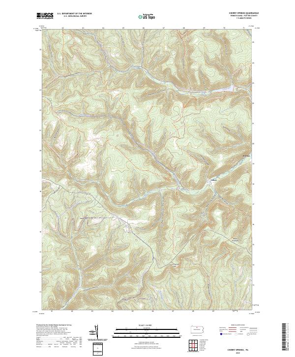
2023 Map of Cherry Springs
USGS Topo · Published 2023About this map
The headwaters of West Branch Pine Creek and the East Fork Sinnemahoning Creek dominate this Potter County landscape, where the high ridges and deep hollows of the Susquehannock State Forest are meticulously detailed. The geography is defined by narrow valley settlements like Corbett and Burrows, established along winding roads like W Branch Rd. These small hamlets are situated among significant landmarks such as Mount Broadhead and the Cherry Springs Vista, a vantage point overlooking the extensive drainage networks below.
Find a feature on this map
45 named features on this map. Tap any name to fly to it.
Don’t see what you’re looking for? This feature index may not catch every label — zoom into the map to look around manually.
Map Details
Editions of this 2023 Cherry Springs Map
This is the sole edition of this map. No revisions or reprints were ever made.
Other maps of this area

1899 · Gaines
USGS Topo · 1:62,500

1900 · Gaines
USGS Topo · 1:62,500

1932 · Genesee
USGS Topo · 1:62,500

1937 · Genesee
USGS Topo · 1:62,500

1947 · Conrad
USGS Topo · 1:62,500

1947 · Galeton
USGS Topo · 1:62,500

1947 · Conrad
USGS Topo · 1:24,000

1947 · Short Run
USGS Topo · 1:24,000

1947 · Ayers Hill
USGS Topo · 1:24,000
1947 · Oleona
USGS Topo · 1:24,000