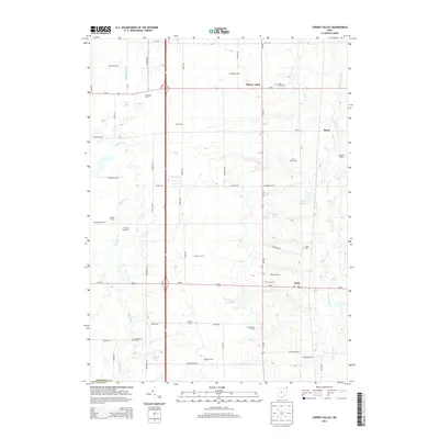
2013 Map of Cherry Valley
USGS Topo · Published 2013About this map
Agricultural operations and small rural nodes define this portion of Ashtabula County, where family-named homesteads such as Coltman Farms and Marrison Farms dominate the township landscape. The crossroads at Cherry Valley serves as a central point, anchored by the Cherry Valley Cem and intersected by the primary north-south corridor of Oh-193. To the south, the settlement of Wick sits at the junction of Us-322, providing a clear view of the area's development around these vital transportation links.
Find a feature on this map
59 named features on this map. Tap any name to fly to it.
Don’t see what you’re looking for? This feature index may not catch every label — zoom into the map to look around manually.
Map Details
Editions of this 2013 Cherry Valley Map
This is the sole edition of this map. No revisions or reprints were ever made.
Other maps of this area

1905 · Andover
USGS Topo · 1:48,000

1905 · Bristolville
USGS Topo · 1:62,500

1905 · Jefferson
USGS Topo · 1:62,500

1907 · Andover
USGS Topo · 1:62,500

1907 · Kinsman
USGS Topo · 1:62,500

1907 · Bristolville
USGS Topo · 1:62,500

1907 · Jefferson
USGS Topo · 1:62,500

1950 · Cleveland
USGS Topo · 1:250,000

1956 · Cleveland
USGS Topo · 1:250,000

1959 · Dorset
USGS Topo · 1:24,000