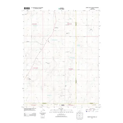
2013 Map of Cherry Valley School
USGS Topo · Published 2013About this map
Cherry Valley Elementary School and Cherry School anchor this rural landscape where Douglas, Elbert, and El Paso counties meet. The area is defined by a dendritic drainage system of seasonal creeks, including W Cherry Cr, E Cherry Cr, and Crowfoot Cr, which feed several water management features like the Franktown Parker FPE-7 Reservoir. The terrain rises toward Bucks Mountain in the southwest, while the northern reaches transition into a mix of ranch land and private airfields. Aviation history is visible through the presence of Kelly Air Park and Ambrosich Field Airport. Near the southern boundary, the map captures the northern edge of Black Forest along Palmer Divide Ave, a significant geographic marker in the region. Long-standing local transit is noted by routes such as Pony Express Rd and Diamond K Ranch Rd.
Find a feature on this map
51 named features on this map. Tap any name to fly to it.
Don’t see what you’re looking for? This feature index may not catch every label — zoom into the map to look around manually.
Map Details
Editions of this 2013 Cherry Valley School Map
This is the sole edition of this map. No revisions or reprints were ever made.
Other maps of this area

1894 · Castle Rock
USGS Topo · 1:125,000

1913 · Castle Rock
USGS Topo · 1:125,000

1939 · Elizabeth
USGS Topo · 1:62,500

1940 · Elbert
USGS Topo · 1:62,500

1940 · Castle Rock
USGS Topo · 1:62,500

1944 · Elbert
USGS Topo · 1:62,500

1945 · Castle Rock
USGS Topo · 1:62,500

1945 · Elizabeth
USGS Topo · 1:62,500

1953 · Denver
USGS Topo · 1:250,000

1954 · Cherry Valley School
USGS Topo · 1:24,000