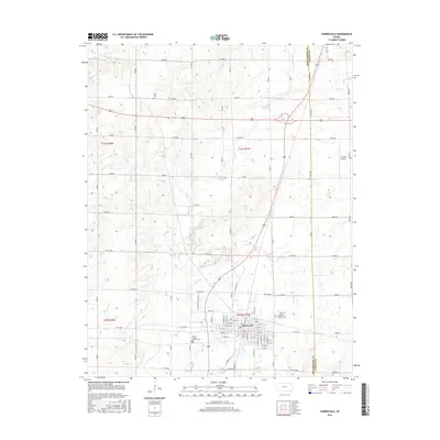
2016 Map of Cherryvale
USGS Topo · Published 2016About this map
Cherryvale serves as the central hub for this corner of southeast Kansas, situated right where the Montgomery and Labette County line divides the landscape. The town plan is clearly defined by a tight grid of residential and commercial streets, including West Main Street and Martin Street, which stand out against the broad agricultural reaches of the surrounding townships. The area's history is anchored by several burial grounds, such as Fairview Cemetery on the eastern edge of town and the Saint Francis Xavier Cemetery to the west. Outside the city limits, the terrain is shaped by a dense network of waterways including Drum Creek and Cherry Creek, while the Tri-City Airport marks the transition into the more modern infrastructure of the eastern flats. The survey captures the persistent rural character of the region, where section roads like 6400 Road and County Road 5000 continue to dictate the movement of people and commerce.
Find a feature on this map
53 named features on this map. Tap any name to fly to it.
Don’t see what you’re looking for? This feature index may not catch every label — zoom into the map to look around manually.
Map Details
Editions of this 2016 Cherryvale Map
This is the sole edition of this map. No revisions or reprints were ever made.
Other maps of this area

1886 · Independence
USGS Topo · 1:125,000

1886 · Parsons
USGS Topo · 1:125,000

1893 · Parsons
USGS Topo · 1:125,000

1894 · Independence
USGS Topo · 1:125,000

1905 · Independence
USGS Topo · 1:125,000

1945 · Parsons
USGS Topo · 1:62,500

1946 · Parsons
USGS Topo · 1:62,500

1946 · Mound Valley
USGS Topo · 1:62,500

1947 · Parsons
USGS Topo · 1:62,500

1947 · Joplin
USGS Topo · 1:250,000