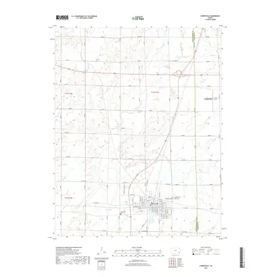
2018 Map of Cherryvale
USGS Topo · Published 2018About this map
Cherryvale serves as the primary hub of this 2018 survey, situated at the border of Montgomery and Labette counties. The town's grid is meticulously detailed, showcasing a street network defined by Main St, Front St, and numbered thoroughfares from E 1st St down to 11th St. Regional connectivity is highlighted by the proximity of the Tri-City Airport and the sprawling municipal boundaries of Parsons to the east.
Find a feature on this map
52 named features on this map. Tap any name to fly to it.
Don’t see what you’re looking for? This feature index may not catch every label — zoom into the map to look around manually.
Map Details
Editions of this 2018 Cherryvale Map
This is the sole edition of this map. No revisions or reprints were ever made.
Other maps of this area

1886 · Independence
USGS Topo · 1:125,000

1886 · Parsons
USGS Topo · 1:125,000

1893 · Parsons
USGS Topo · 1:125,000

1894 · Independence
USGS Topo · 1:125,000

1905 · Independence
USGS Topo · 1:125,000

1945 · Parsons
USGS Topo · 1:62,500

1946 · Parsons
USGS Topo · 1:62,500

1946 · Mound Valley
USGS Topo · 1:62,500

1947 · Parsons
USGS Topo · 1:62,500

1947 · Joplin
USGS Topo · 1:250,000